| Location | USA, Clay County, North Carolina, Nantahala National Forest. W of the city of Franklin on U.S. route 64, then NNW on Buck Creek Road to Perry Gap Road (E of Perry Gap); at Barnard's Creek., N 35 05 13 W 083 38 14 |
| Date | 13 May 2015 |
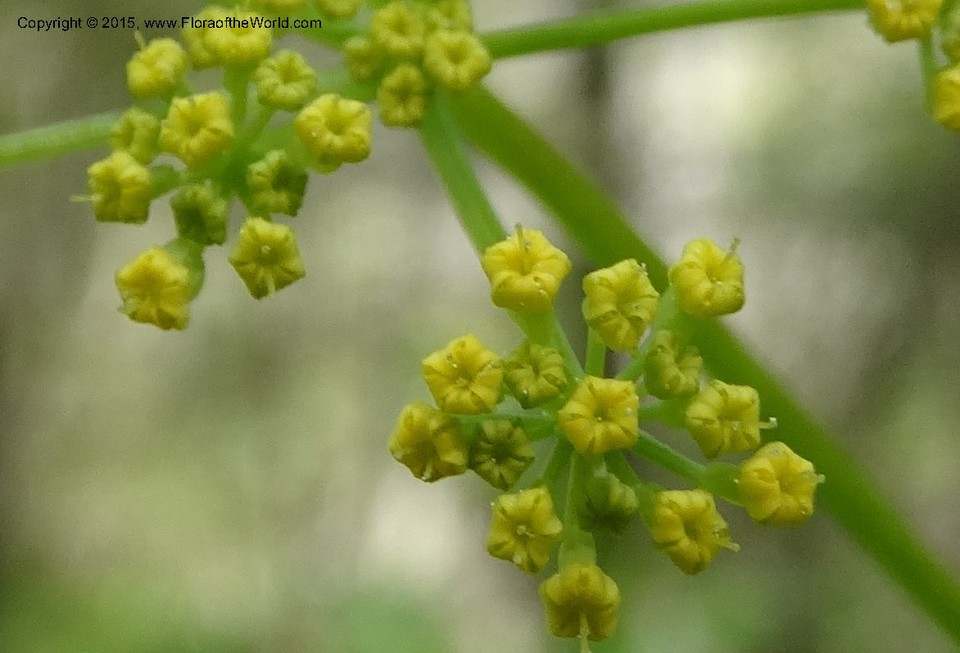
| Ecology | Steep to gentle slopes in mixed deciduous forest of Liriodendron tulipifera, Betula lenta and Acer saccharum and diverse herbaceous ground cover including Euonymus obovatus, Disporum lanuginosum, Clintonia umbellulata and Cymophyllus fraserianus. |
| Comment | Our colleague and friend Tomomi Masaki washing dirt from Carex roots. |