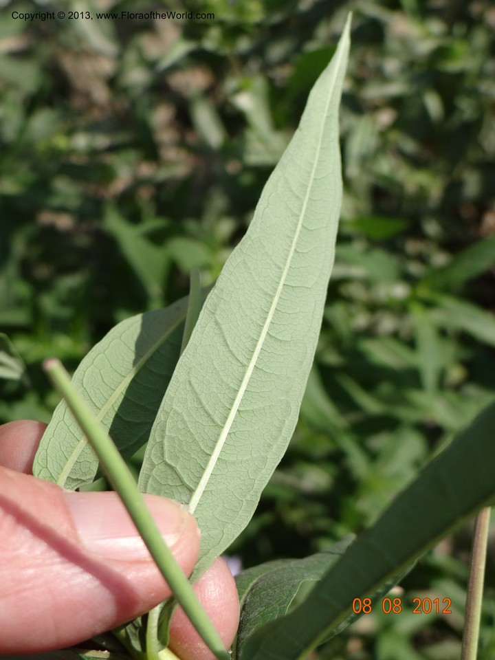
Chamaenerion angustifolium (L.) Scop.
Onagraceae
| Collection Number | Davidson, C 12090 |
| Collectors | C. Davidson, S. Christoph |
| Identified By | C. Davidson |
| Source | S. Christoph |
| Date | 08 August 2012 |
| Country | USA |
| state | Idaho |
| county | Valley |
| Location | 2 miles NE of Lick Creek Summit on the road from McCall to Yellow Pine. 1907 m elev. |
| Lat/Long | N 45 02 57.7 W 115 55 13.2 |
| Note | Mixed conifer forest. Dry roadside bank in area of massive glacial scree NW of the road. |
Local Habitat
0km distance
| Location | USA, Valley County, Idaho, Lick Creek Road. Ca.2 miles east of Lick Creek Summit, near talus of large granite boulders. ., N 45 02 58 W 115 55 13 |
| Date | 12 August 2011 |
| Ecology | Dry roadside in mixed conifer forest, mostly spruces and firs. |


1.3km distance
| Location | USA, Valley County, Idaho, Lick Creek Road. 3.1 miles northeast of Lick Creek Summit., N 45 03 05.7 W 115 54 15.6 |
| Date | 08 August 2012 |
| Ecology | Dry roadside in massive granite scree, in mixed conifer forest. |


1.6km distance
| Location | USA, Valley County, Idaho, Lick Creek Road. 3.1 miles east of Lick Creek Summit., N 45 03 06 W 115 54 03 |
| Date | 04 July 2011 |
| Ecology | Crevices in exposed granite humps. Dry, roadside barrow pit. Mixed conifer forest. |


1.8km distance
| Location | USA, Valley County, Idaho, Lick Creek Road. Lick Creek Summit. Crevices in exposed granite humps., N 45 02 10 W 115 55 57 |
| Date | 14 July 2014 |
| Ecology | Open, spruce-fir forest. |


