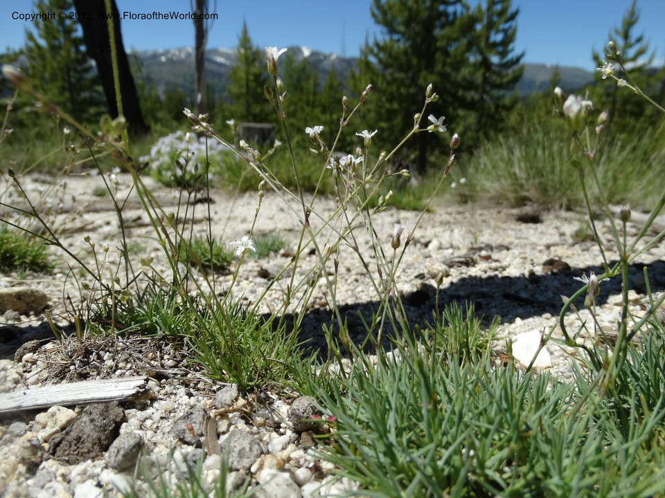
Eremogone aculeata (S. Watson) Ikonn.
Caryophyllaceae
| Collection Number | Davidson, C 12553 |
| Collectors | C. Davidson, S. R. Christoph |
| Identified By | C. Davidson, Jan., 2015 |
| Source | C. Davidson |
| Date | 01 July 2014 |
| Country | USA |
| state | Idaho |
| county | Valley |
| Location | Warren Wagon Road ca. 20 mi N of McCall. For. Serv. Rd. 431, to the E of the road, but south of Sesesh Summit. Exposed, sandy roadside, ca 0.5 mi. from Warren Wagon Rd. Abies-lodgepole pine forest, but surrounding area mostly burned over. 1952 m elev. |
| Lat/Long | N 45 10 39.9 W 115 58 18.8 |
| Note | Forming prickly mats in sandy gravel places along the road. |
Local Habitat
1.5km distance
| Location | USA, Valley County, Idaho, North Fork of Payette River. Squaw Meadows, ca. 15 miles north of McCall. Large meadow north of the road., N 45 10 00 W 115 59 00 |
| Date | 21 July 2014 |
| Ecology | Extensive montane meadow along the North Fork of the Payette River, fed by numerous small tributaries of the river. Surrounded by mixed coniferous forest. |


4.0km distance
| Location | USA, Idaho County, Idaho, Vicinity of Josephine Lake and top of the ridge SW of the lake, N 45 12 50.6 W 115 58 17.5 |
| Date | 01 August 2012 |
| Ecology | Coniferous forest, mostly firs and spruces, with a nearby expanse of burned forest. |


