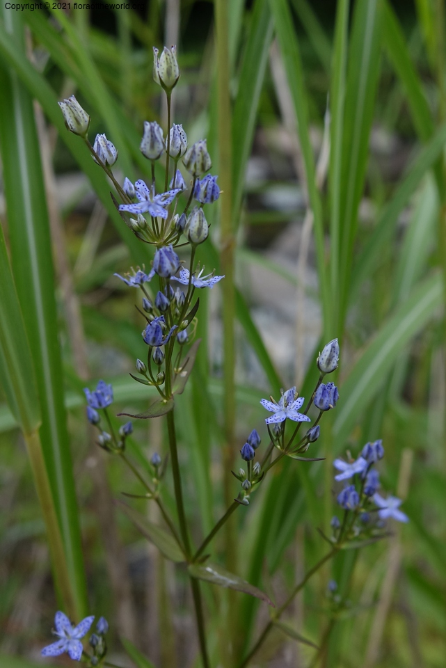
Swertia tetrapetala Pall.
Gentianaceae
| Collection Number | Not collected |
| Collectors | D. Boufford, C. Davidson, S. R. Christoph |
| Identified By | D. Boufford, GH |
| Source | C. Davidson |
| Date | 03 August 2016 |
| Country | Japan |
| region | Hokkaido |
| prefecture | Hokkaido |
| district | Soya Subprefecture |
| Location | Teshio Experimental Forest. Highway 583 to Highway 785, east om 785 c. 1.75 km to a road heading northeast; to the end of this road, then trail along Penke-Rupeshipe River c. 2 km. 142 m elev. |
| Lat/Long | N 44 58 35.0 E 142 07 3.4 |
| Note | Foot of fairly steep north slope weep zone, but with a dynamic creep, changing over time. |