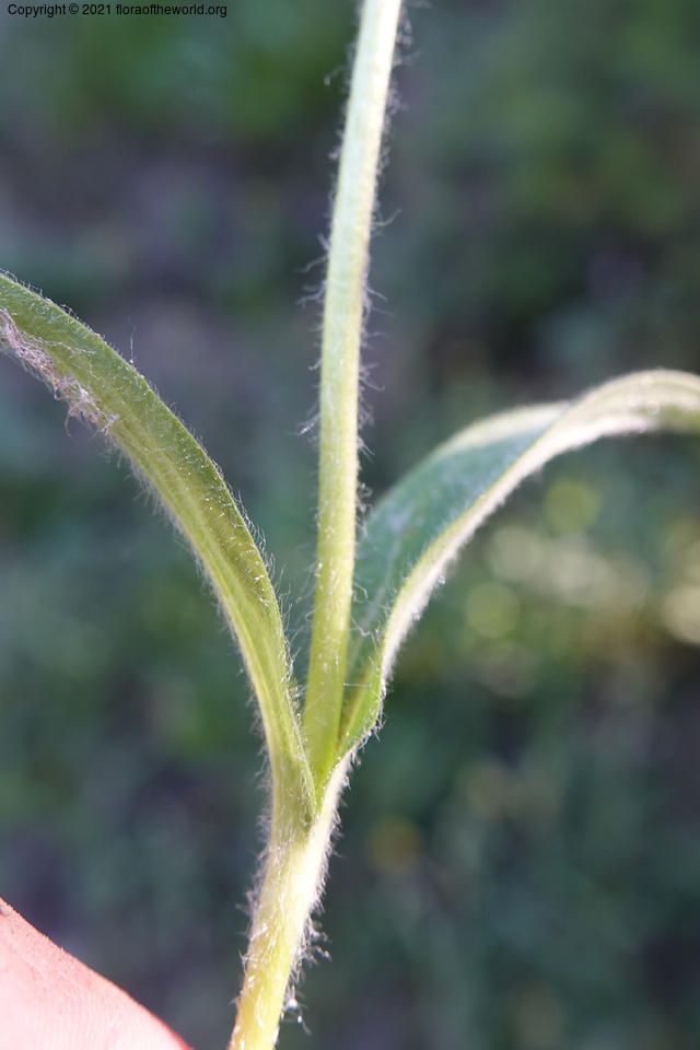
Arnica parryi A. Gray
Asteraceae
| Collection Number | C. Davidson 13695 |
| Collectors | C. Davidson |
| Identified By | D. Giblin, (WTU), X/2017 |
| Source | C. Davidson |
| Date | 11 July 2017 |
| Country | USA |
| state | Idaho |
| county | Idaho |
| Location | Ca. 1.6 km on road to Smith Knob Lookout (FSR 337) heading roughly E of Warren Summit and FSR 340. Elev. 2219 m. |
| Lat/Long | N 45 13 55.1 W 115 37 09.9 |
| Note | Mixed conifer forest: spruce, fir, doug fir, lodgepole. |
Local Habitat
3.3km distance
| Location | USA, Idaho County, Idaho, South Fork Road, 3.4 mile northeast of Warren Summit., N 45 12 14 W 115 36 26 |
| Date | 08 July 2011 |
| Ecology | Dry, sandy roadbank. Ponderosa pine forest. |


5.4km distance
| Location | USA, Valley County, Idaho, Warren-Salmon River Road, NE of Warren Summit., N 45 11 33.9 W 115 34 39.7 |
| Date | 21 July 2012 |
| Ecology | Ponderosa oine forest. Steep east and south slopes. |


8.5km distance
| Location | USA, Idaho County, Idaho, Dredge ponds NW of Warren, N 45 16 48.0 W 115 42 12.3 |
| Date | 26 August 2008 |
| Ecology | Standard dredge tailings with piles of river cobbles and small boulders interpersed with clear, cold ponds. |


