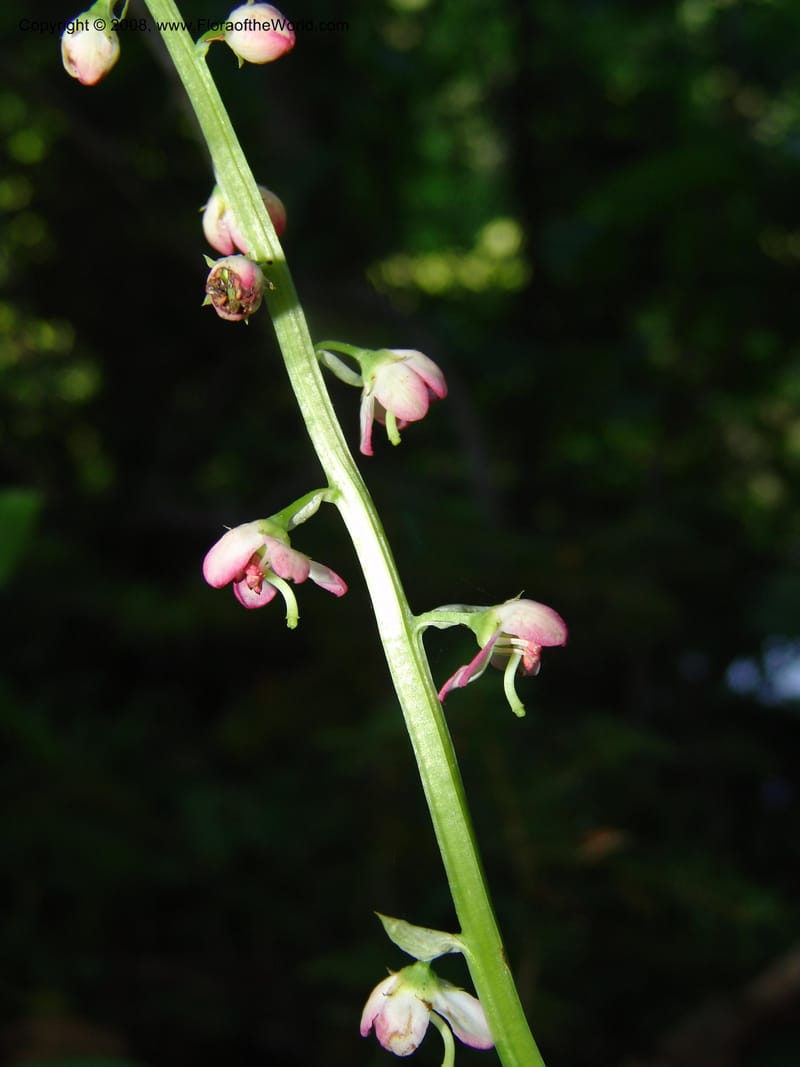
Pyrola asarifolia--ID. Valley Co. Sylvan Beach reservoir trail, Payette Lk. 3 Jul 06. 027.jpg
Native to 58 botanical countries across Temperate Asia, Tropical Asia, and Northern America (source: POWO). Flora of the World documents 4 occurrences across 1 country.
Location
United States, Idaho, Valley
44.158, -116.118361
Location Remarks
Highway 55 c. 10 km north of the bridge at Banks. Mixed conifer forest along the N. Fork Payette River.
Collectors
No collectors specified
Location
United States, Idaho, Idaho
45.244, -115.588639
Location Remarks
1.9 km N of Warren Summit on FSR 340, at Mayflower Creek Bridge. Elev. 1904 m.
Collectors
No collectors specified
Location
United States, Idaho, Valley
44.158, -116.118361
Location Remarks
Highway 55 c. 10 km north of the bridge at Banks. Mixed conifer forest along the N. Fork Payette River.
Collectors
No collectors specified
Location
United States, Idaho, Shoshone
47.086694, -116.11375
Location Remarks
Hobo Cedar Grove (Hwy 3 to Clarkia, E on FR 321, Hobo Pass along Merry Cr. to FR 321). Elev. 1367 m.
Collectors
Christopher Davidson, Roy E. Gereau, Charlotte M. Taylor, Sharon R. Christoph
Notes
Mixed conifer forest, mossy.
Kingdom
Plantae
Phylum
Tracheophyta
Class
Magnoliopsida
Order
Ericales
Family
Ericaceae
Genus
Pyrola
Specific Epithet
asarifolia
Authorship
Michx.
What is EDGE?
Evolutionary distinctiveness
Lower
ED 0.2
Part of a well-represented branch of the plant tree of life, with many close relatives.
Threat status
Modelled estimate
EDGE score
0.0
Global rank
#322,634 of 335,497
Top 97%
Extinction probability
11%