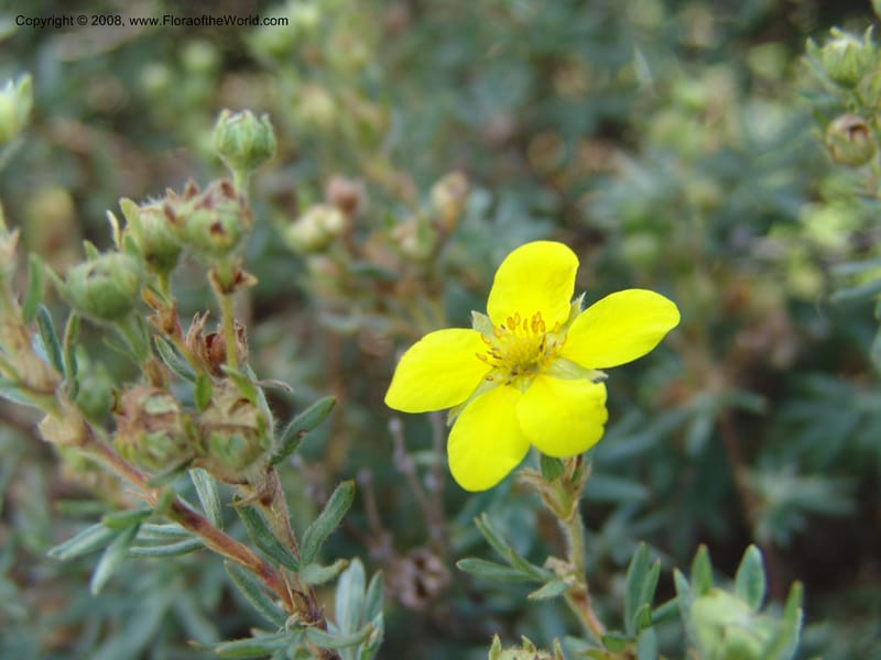
Dasiphora floribunda--AZ. Arboretum at Flagstaff. 3 Sep 04. 199.jpg
Native to 85 botanical countries across Europe, Temperate Asia, Tropical Asia, and Northern America; introduced into Austria, Belarus, Central European Russia, Germany, Norway (source: POWO). Flora of the World documents 4 occurrences across 1 country.
Location
United States, Arizona, Coconino (Arboretum at Flagstaff)
Location Remarks
West of Flagstaff on Route 66, then 3.8 miles south on Woody Mountain Road
Collectors
No collectors specified
Location
United States, Idaho, Valley
44.158, -116.118361
Location Remarks
Highway 55 c. 10 km north of the bridge at Banks. Mixed conifer forest along the N. Fork Payette River.
Collectors
Christopher Davidson, Sharon R. Christoph
Notes
Dry cobblestone flat with Artemisia tridentata. Mixed conifer forest, mostly lodgepole pines.
Location
United States, Oregon, Harney
42.666944, -118.711194
Location Remarks
South Steens Mountain Loop, c. 6 km east of bridge at Donner and Blitzen River. 1806 m elev.
Collectors
Christopher Davidson, Charlotte M. Taylor, Roy E. Gereau, Sharon R. Christoph
Notes
Moderately steep south slope in a runoff channel and adjacent seasonal meadow. High rocky plain. Shrub 1 m.
Location
United States, Idaho, Idaho
45.244, -115.588639
Location Remarks
1.9 km N of Warren Summit on FSR 340, at Mayflower Creek Bridge. Elev. 1904 m.
Collectors
No collectors specified
Kingdom
Plantae
Phylum
Tracheophyta
Class
Magnoliopsida
Order
Rosales
Family
Rosaceae
Genus
Dasiphora
Specific Epithet
fruticosa
Authorship
(L.) Rydb.
What is EDGE?
Evolutionary distinctiveness
Lower
ED 8.9
Part of a well-represented branch of the plant tree of life, with many close relatives.
Threat status
Modelled estimate
EDGE score
0.8
Global rank
#58,670 of 335,497
Top 18%
Extinction probability
10%
GBIF Backbone Taxonomy