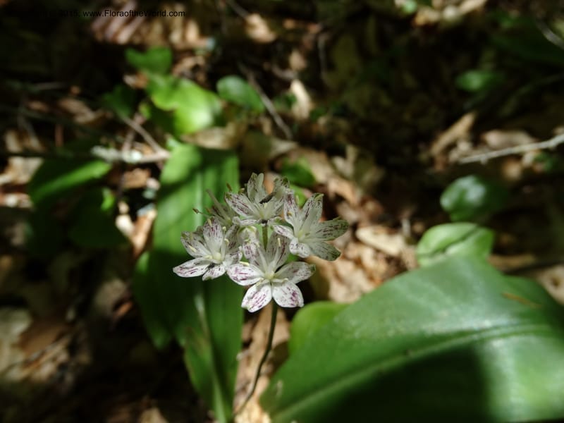
Clintonia umbellulata, Davidson, C 12988--North Carolina. Clay Co. Perry Gap Rd, Barnard's Cr. 13 May 2015. DSC04860 (251).JPG
Native to Georgia, Kentucky, Maryland, New York, North Carolina, Ohio, Pennsylvania, South Carolina, Tennessee, Virginia, West Virginia (source: POWO). Flora of the World documents 2 occurrences across 1 country.
Location
United States, North Carolina, Clay
35.084167, -83.616667
Location Remarks
West of the city of Franklin and E of the town of Shooting Creek; 2.25 km (1.4 miles) N of U.S. route 64 on Buck Creek Road; W side of Buck Creek. 943 m elev.
Collectors
Christopher Davidson, David E. Boufford, Sharon R. Christoph, Tomomi Masaki
Location
United States, North Carolina, Macon
35.093611, -83.520556
Location Remarks
Nantahala National Forest road off old U.S. route 64 (highway 1448), SW of city of Franklin; near Standing Indian on trail to Wasilik Poplar. 1115 m elev.
Collectors
Christopher Davidson, David E. Boufford, Sharon R. Christoph, Tomomi Masaki
Kingdom
Plantae
Phylum
Tracheophyta
Class
Liliopsida
Order
Liliales
Family
Liliaceae
Genus
Clintonia
Specific Epithet
umbellulata
Authorship
(Michx.) Morong
What is EDGE?
Evolutionary distinctiveness
Lower
ED 0.6
Part of a well-represented branch of the plant tree of life, with many close relatives.
Threat status
Modelled estimate
EDGE score
0.1
Global rank
#292,363 of 335,497
Top 88%
Extinction probability
9%