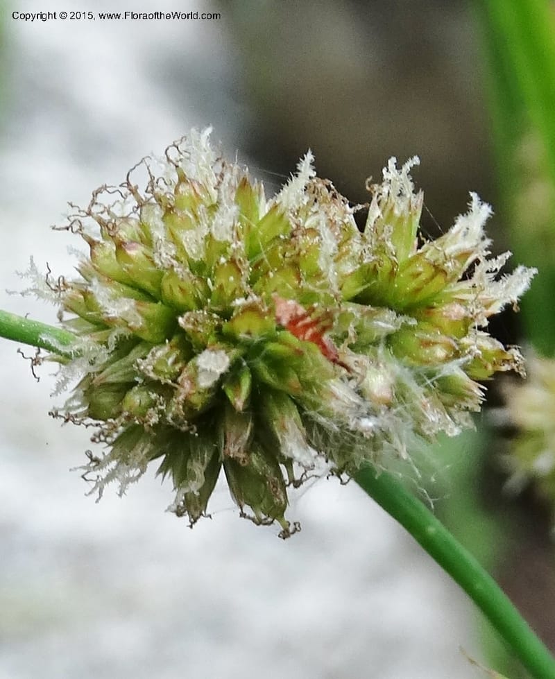
Juncus ensifolius, Davidson, C 12611--Idaho. Valley Co. Payette Lake. Sylvan Cr. 20 Jul 2014. DSC00669 (154).JPG
Native to Alaska, Alberta, Aleutian Is., British Columbia, California, Colorado, Idaho, Japan, Kuril Is., Mexico Central, Mexico Gulf, Mexico Northeast, Mexico Northwest, Montana, Nevada, Oregon, Saskatchewan, South Dakota, Utah, Washington, Wyoming; introduced into Austria, Belgium, Finland, Germany, Great Britain, Hawaii, Netherlands, New York, New Zealand North, New Zealand South, Ontario, Québec, Sweden, Transcaucasus, Vermont, Wisconsin (source: POWO). Flora of the World documents 3 occurrences across 1 country.
Location
United States, Idaho, Valley
44.158, -116.118361
Location Remarks
Highway 55 c. 10 km north of the bridge at Banks. Mixed conifer forest along the N. Fork Payette River.
Collectors
Location
United States, Idaho, Shoshone
47.086694, -116.11375
Location Remarks
Hobo Cedar Grove (Hwy 3 to Clarkia, E on FR 321, Hobo Pass along Merry Cr. to FR 321). Elev. 1367 m.
Collectors
Christopher Davidson, Sharon R. Christoph
Notes
Wet roadside drainage.
Location
United States, Idaho, Valley
44.158, -116.118361
Location Remarks
Highway 55 c. 10 km north of the bridge at Banks. Mixed conifer forest along the N. Fork Payette River.
Collectors
No collectors specified
Kingdom
Plantae
Phylum
Tracheophyta
Class
Liliopsida
Order
Poales
Family
Juncaceae
Genus
Juncus
Specific Epithet
ensifolius
Authorship
Wikstr.
What is EDGE?
Evolutionary distinctiveness
Lower
ED 3.9
Part of a well-represented branch of the plant tree of life, with many close relatives.
Threat status
Modelled estimate
EDGE score
0.3
Global rank
#160,126 of 335,497
Top 48%
Extinction probability
10%