Flora of the World logo
MapPublicationsInstitutionsImpactAboutContactAcknowledgements

Copyright © 2008-2026 Flora of The World. All Rights Reserved.

Visit floraoftheworld.orgLogin
Home

›

Cornales

›

Cornaceae

›

Cornus

›

sericea

Taxon

Cornus sericea L.

Protologue Mant. Pl. Altera 199 (-200). 1771 [Oct 1771]BHLIPNI
AcceptedGBIF
Least Concern
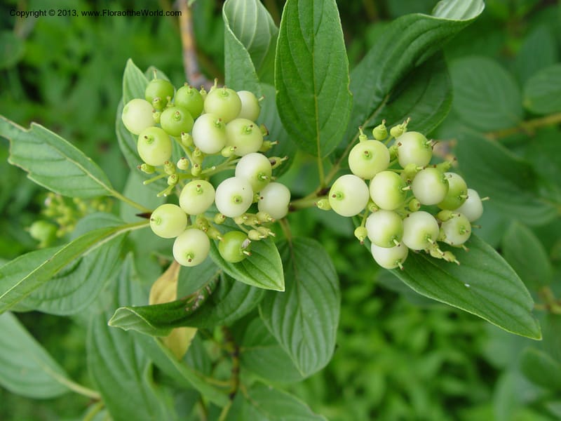
Cornus sericea--MA. Arnold Arb. 30 Jun 03. 012.jpg
Cornus sericea--MA. Arnold Arb. 30 Jun 03. 012.jpg

By Christopher Davidson

CC-BY-NC-SA-4.0

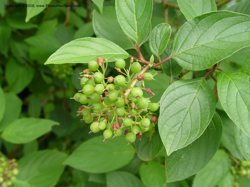
Cornus sericea--MA. Arnold Arbor. 30 Jun 03. 008.jpg
Cornus sericea--MA. Arnold Arbor. 30 Jun 03. 008.jpg

By Christopher Davidson

CC-BY-NC-SA-4.0

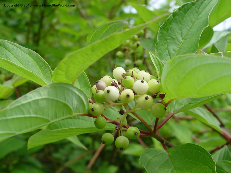
Cornus sericea--MA. Arnold Arb. 30 Jun 03. 011.jpg
Cornus sericea--MA. Arnold Arb. 30 Jun 03. 011.jpg

By Christopher Davidson

CC-BY-NC-SA-4.0

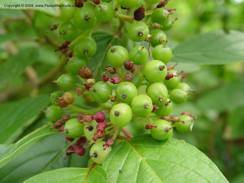
Cornus sericea--MA. Arnold Arbor. 30 Jun 03. 009.jpg
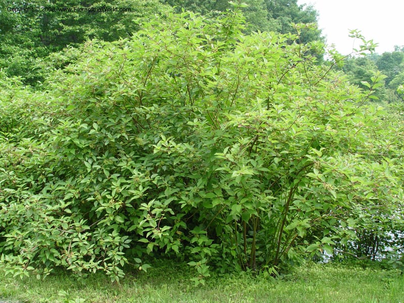
Cornus sericea--MA. Arnold Arbor. 30 Jun 03. 009.jpg

By Christopher Davidson

CC-BY-NC-SA-4.0

Cornus sericea--MA. Arnold Arbor. 30 Jun 03. 010.jpg
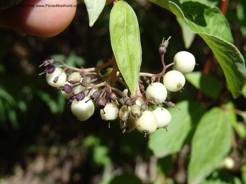
Cornus sericea--MA. Arnold Arbor. 30 Jun 03. 010.jpg

By Christopher Davidson

CC-BY-NC-SA-4.0

Cornus sericea--AZ. Coconino Co. Oak Cr Canyon. W Fork Trail 108. 4 Sep 04. 163.jpg
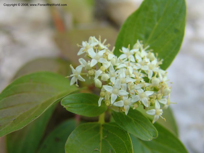
Cornus sericea--AZ. Coconino Co. Oak Cr Canyon. W Fork Trail 108. 4 Sep 04. 163.jpg

By Christopher Davidson

CC-BY-NC-SA-4.0

Cornus sericea--AZ. Coconino Co. Oak Cr Canyon. W Fork Trail 108. 4 Sep 04. 166.jpg
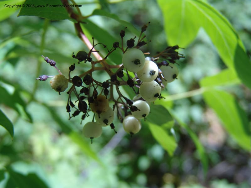
Cornus sericea--AZ. Coconino Co. Oak Cr Canyon. W Fork Trail 108. 4 Sep 04. 166.jpg

By Christopher Davidson

CC-BY-NC-SA-4.0

Cornus sericea--AZ. Coconino Co. Oak Cr Canyon. W Fork Trail 108. 4 Sep 04. 162.jpg
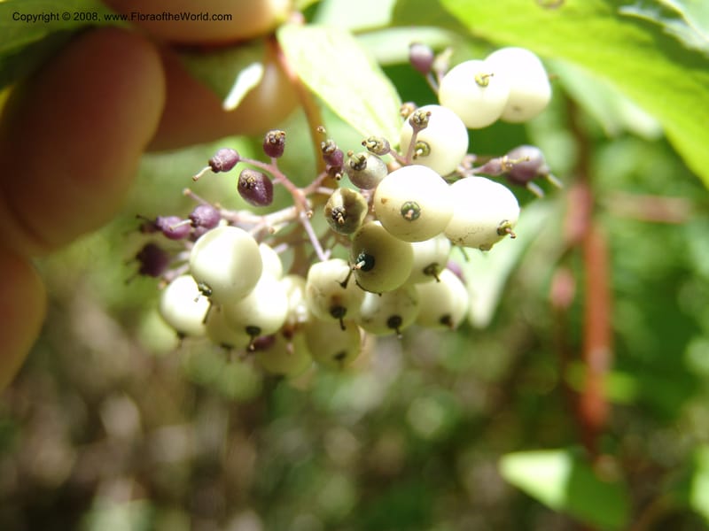
Cornus sericea--AZ. Coconino Co. Oak Cr Canyon. W Fork Trail 108. 4 Sep 04. 162.jpg

By Christopher Davidson

CC-BY-NC-SA-4.0

Cornus sericea--AZ. Coconino Co. Oak Cr Canyon. W Fork Trail 108. 4 Sep 04. 164.jpg
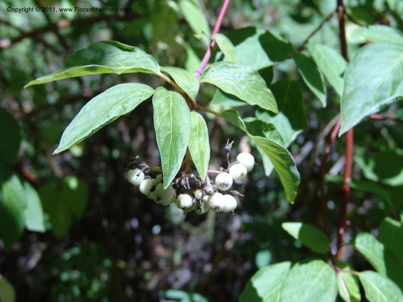
Cornus sericea--AZ. Coconino Co. Oak Cr Canyon. W Fork Trail 108. 4 Sep 04. 164.jpg

By Christopher Davidson

CC-BY-NC-SA-4.0

Cornus sericea--AZ. Coconino Co. Oak Cr Canyon. W Fork Trail 108. 4 Sep 04. 160.jpg
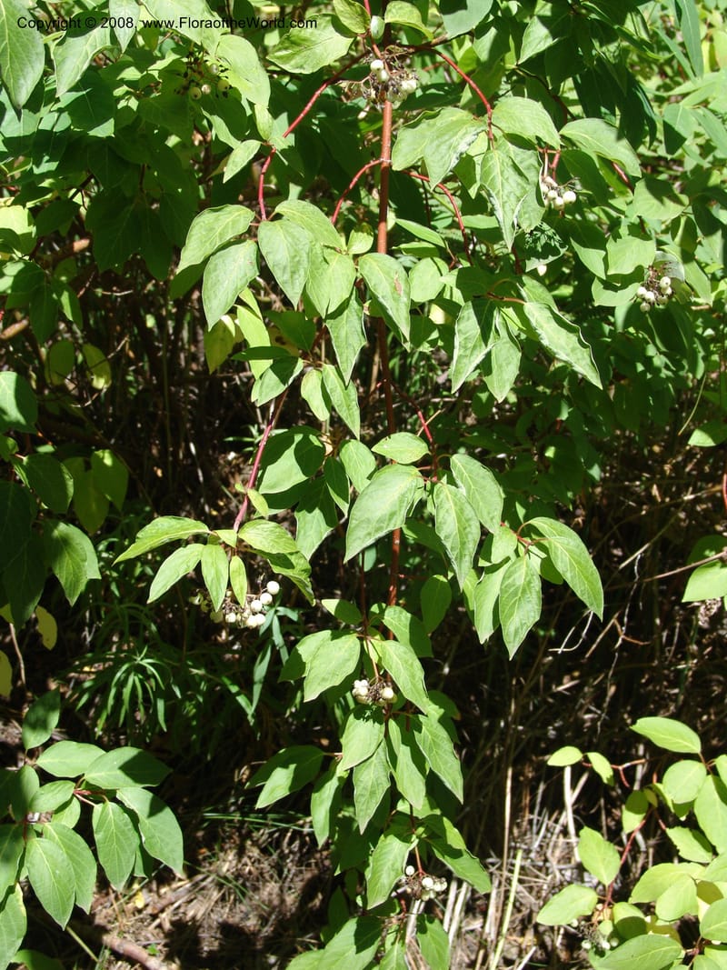
Cornus sericea--AZ. Coconino Co. Oak Cr Canyon. W Fork Trail 108. 4 Sep 04. 160.jpg

By Christopher Davidson

CC-BY-NC-SA-4.0

Cornus sericea--AZ. Coconino Co. Oak Cr Canyon. W Fork Trail 108. 4 Sep 04. 165.jpg
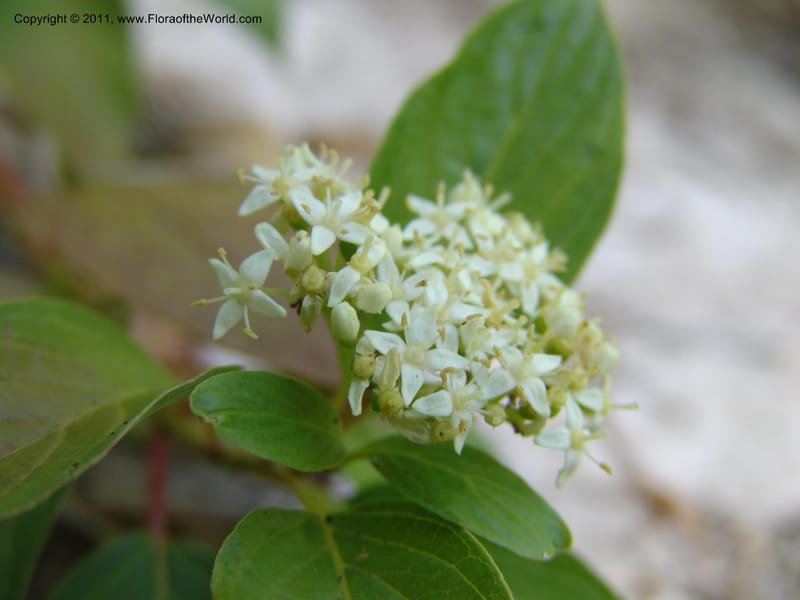
Cornus sericea--AZ. Coconino Co. Oak Cr Canyon. W Fork Trail 108. 4 Sep 04. 165.jpg

By Christopher Davidson

CC-BY-NC-SA-4.0

Cornus sericea--AZ. Coconino Co. Oak Cr Canyon. W Fork Trail 108. 4 Sep 04. 169.jpg
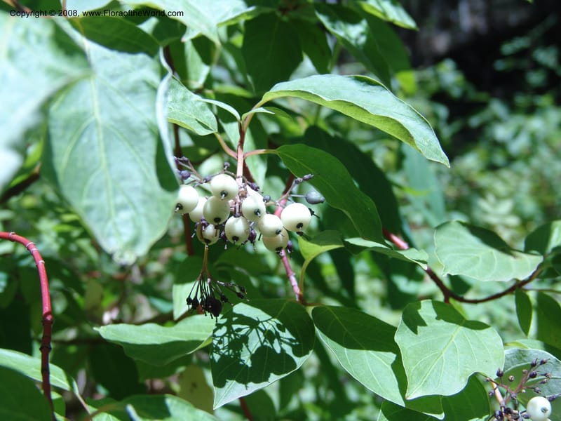
Cornus sericea--AZ. Coconino Co. Oak Cr Canyon. W Fork Trail 108. 4 Sep 04. 169.jpg

By Christopher Davidson

CC-BY-NC-SA-4.0

Cornus sericea--AZ. Coconino Co. Oak Cr Canyon. W Fork Trail 108. 4 Sep 04. 161.jpg
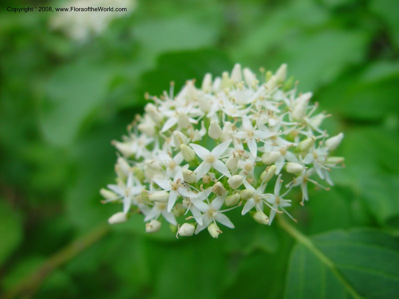
Cornus sericea--AZ. Coconino Co. Oak Cr Canyon. W Fork Trail 108. 4 Sep 04. 161.jpg

By Christopher Davidson

CC-BY-NC-SA-4.0

Cornus sericea--ID. Adams Co. Ca. Hwy 55, twd Brundage Mtn. 21 Jun 03. 054.jpg
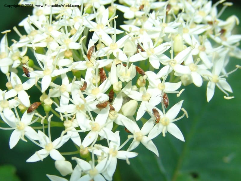
Cornus sericea--ID. Adams Co. Ca. Hwy 55, twd Brundage Mtn. 21 Jun 03. 054.jpg

By Christopher Davidson

CC-BY-NC-SA-4.0

Cornus sericea--ID. Valley Co. Sylvan Beach reservoir trail, Payette Lk. 3 Jul 06. 033.jpg
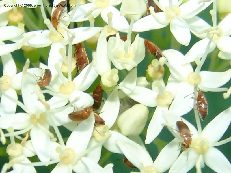
Cornus sericea--ID. Valley Co. Sylvan Beach reservoir trail, Payette Lk. 3 Jul 06. 033.jpg

By Christopher Davidson

CC-BY-NC-SA-4.0

Cornus sericea--ID. Valley Co. Sylvan Beach reservoir trail, Payette Lk. 3 Jul 06. 034.jpg
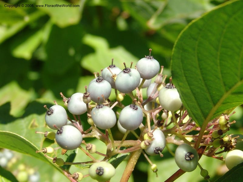
Cornus sericea--ID. Valley Co. Sylvan Beach reservoir trail, Payette Lk. 3 Jul 06. 034.jpg

By Christopher Davidson

CC-BY-NC-SA-4.0

Cornus sericea--ID. Valley Co. Sylvan Beach, Reservoir trail. 13 Aug 05. 100.jpg
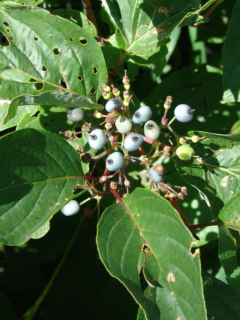
Cornus sericea--ID. Valley Co. Sylvan Beach, Reservoir trail. 13 Aug 05. 100.jpg

By Christopher Davidson

CC-BY-NC-SA-4.0

Cornus sericea--ID. Valley Co. Sylvan Beach, Reservoir trail. 13 Aug 05. 103.jpg
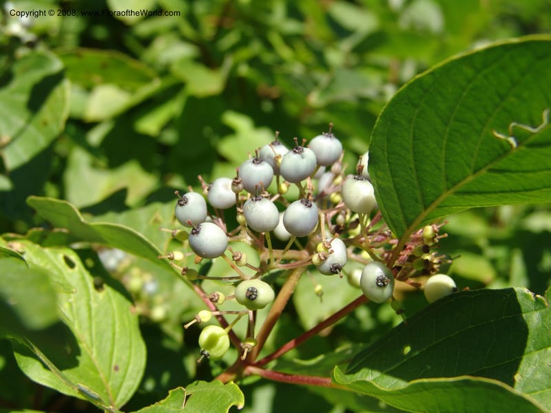
Cornus sericea--ID. Valley Co. Sylvan Beach, Reservoir trail. 13 Aug 05. 103.jpg

By Christopher Davidson

CC-BY-NC-SA-4.0

Cornus sericea--ID. Valley Co. Sylvan Beach, Reservoir trail. 13 Aug 05. 099.jpg
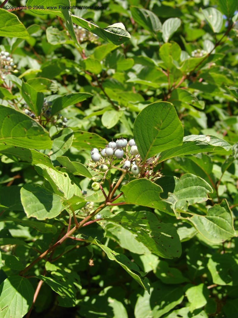
Cornus sericea--ID. Valley Co. Sylvan Beach, Reservoir trail. 13 Aug 05. 099.jpg

By Christopher Davidson

CC-BY-NC-SA-4.0

Cornus sericea--ID. Valley Co. Sylvan Beach, Reservoir trail. 13 Aug 05. 101.jpg
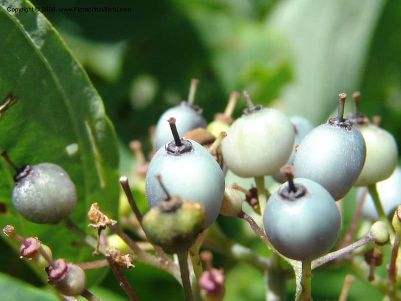
Cornus sericea--ID. Valley Co. Sylvan Beach, Reservoir trail. 13 Aug 05. 101.jpg

By Christopher Davidson

CC-BY-NC-SA-4.0

Cornus sericea--ID. Valley Co. Sylvan Beach, Reservoir trail. 13 Aug 05. 104.jpg
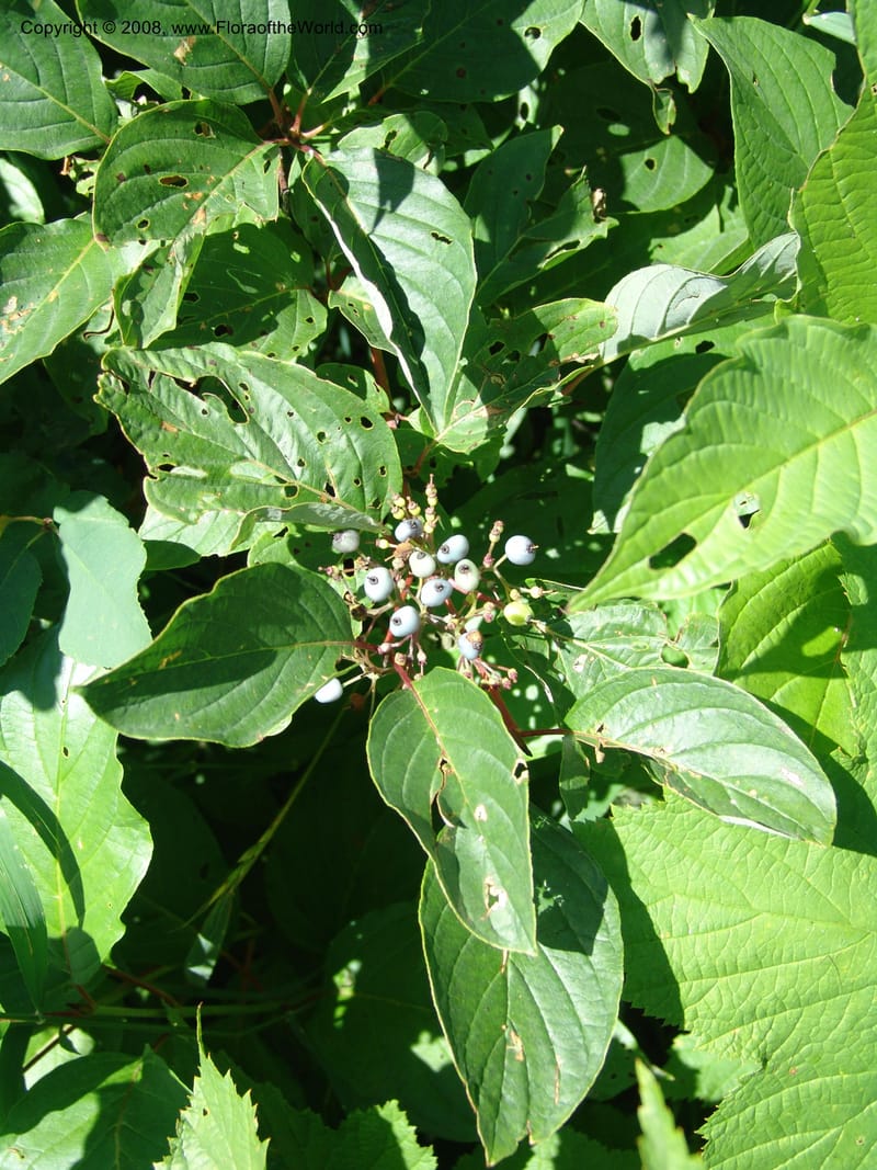
Cornus sericea--ID. Valley Co. Sylvan Beach, Reservoir trail. 13 Aug 05. 104.jpg

By Christopher Davidson

CC-BY-NC-SA-4.0

Cornus sericea--ID. Valley Co. Sylvan Beach, Reservoir trail. 13 Aug 05. 102.jpg
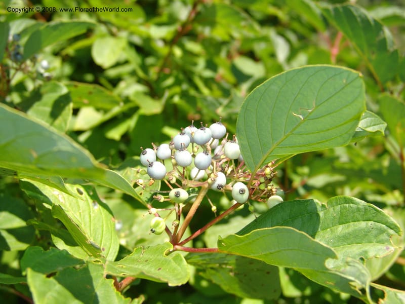
Cornus sericea--ID. Valley Co. Sylvan Beach, Reservoir trail. 13 Aug 05. 102.jpg

By Christopher Davidson

CC-BY-NC-SA-4.0

Cornus sericea--ID. Valley Co. Sylvan Beach, Reservoir trail. 13 Aug 05. 098.jpg

Cornus sericea--ID. Valley Co. Sylvan Beach, Reservoir trail. 13 Aug 05. 098.jpg

By Christopher Davidson

CC-BY-NC-SA-4.0

Native to 52 botanical countries across Northern America; introduced into Austria, Baltic States, Belgium, Czechia-Slovakia, Denmark, Finland, Germany, Great Britain, Ireland, Italy, Norway, Poland, Sweden, Switzerland (source: POWO). Flora of the World documents 5 occurrences across 1 country.

Distribution

Distribution from Plants of the World Online (POWO). View the accepted name on POWO

Occurrences

No collection number

July 3, 2006

Location

United States, Idaho, Valley (Cascade)

44.158, -116.118361

Location Remarks

Highway 55 c. 10 km north of the bridge at Banks. Mixed conifer forest along the N. Fork Payette River.

Collectors

No collectors specified

No collection number

June 21, 2003

Location

United States, Idaho, Adams (New Meadows)

45.189778, -116.304556

Location Remarks

Hwy 55 along the Little Salmon River. Ca. 19 km S of Pollock. Coarse basalt gravel on roadside turnout above the river. 976 m elev.

Collectors

No collectors specified

Accession 21026-A

June 30, 2003

Location

United States, Massachusetts, Suffolk County (Jamaica Plain)

42.307464, -71.120796

Location Remarks

125 Arbor Way, Jamaica Plains, Massachusetts

Collectors

No collectors specified

No collection number

August 13, 2005

Location

United States, Idaho, Valley (Cascade)

44.158, -116.118361

Location Remarks

Highway 55 c. 10 km north of the bridge at Banks. Mixed conifer forest along the N. Fork Payette River.

Collectors

No collectors specified

Not collected

September 4, 2004

Location

United States, Arizona, Coconino (Sedona)

34.880278, -111.748333

Location Remarks

Highway 89A, Oak Creek Canyon. Vicinity of Midgley Bridge.

Collectors

No collectors specified

Classification

Kingdom

Plantae

Phylum

Tracheophyta

Class

Magnoliopsida

Order

Cornales

Family

Cornaceae

Genus

Cornus

Specific Epithet

sericea

Authorship

L.

Taxonomic Opinions

GBIFWFOPOWO

Conservation (EDGE)

What is EDGE?

Evolutionary distinctiveness

Lower

ED 0.9

Part of a well-represented branch of the plant tree of life, with many close relatives.

Threat status

Least Concern

IUCN Red List

EDGE score

0.0

Global rank

#308,867 of 335,497

Top 93%

Extinction probability

5%

Source: Flowering plants EDGE assessment →