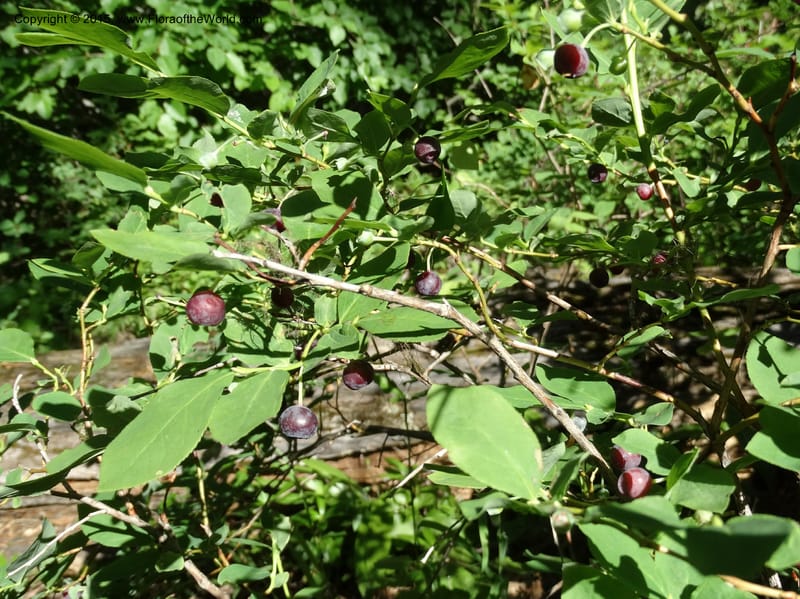
Vaccinium membranaceum, Davidson, C 12607--Idaho. Valley Co. Payette Lake. Sylvan Cr. 20 Jul 2014. DSC00669 (14).JPG
Global range is not yet available in Plants of the World Online. Flora of the World documents 4 occurrences across 1 country.
Location
United States, Idaho, Valley
44.158, -116.118361
Location Remarks
Highway 55 c. 10 km north of the bridge at Banks. Mixed conifer forest along the N. Fork Payette River.
Collectors
Christopher Davidson, Aiden Slichter-Davidson
Notes
Shrub 60-70 cm.
Location
United States, Idaho, Benewah
47.3545, -116.376944
Location Remarks
Reeds Gulch Rd. to FSR 550, to the N of Calder-Avery Rd. (=NF 50). 9.8 km toward Baldy Peak. Elev. 1238 m.
Collectors
Christopher Davidson, Sharon R. Christoph
Notes
Clear-cut area in Libocedrus forest upslope from road. Area of low shrubs and perennials incl. Holodiscus, Xerophyllum, Ceanothus, Frasera. Shrub ca. 0.5 m.
Location
United States, Idaho, Idaho
45.244, -115.588639
Location Remarks
1.9 km N of Warren Summit on FSR 340, at Mayflower Creek Bridge. Elev. 1904 m.
Collectors
Christopher Davidson, Sharon R. Christoph
Notes
Shrub 5-6 dm.
Location
United States, Idaho, Valley
44.158, -116.118361
Location Remarks
Highway 55 c. 10 km north of the bridge at Banks. Mixed conifer forest along the N. Fork Payette River.
Collectors
No collectors specified
Kingdom
Plantae
Phylum
Tracheophyta
Class
Magnoliopsida
Order
Ericales
Family
Ericaceae
Genus
Vaccinium
Specific Epithet
membranaceum
Authorship
Douglas ex Hook.
What is EDGE?
Evolutionary distinctiveness
Lower
ED 1.5
Part of a well-represented branch of the plant tree of life, with many close relatives.
Threat status
Modelled estimate
EDGE score
0.1
Global rank
#232,740 of 335,497
Top 70%
Extinction probability
11%