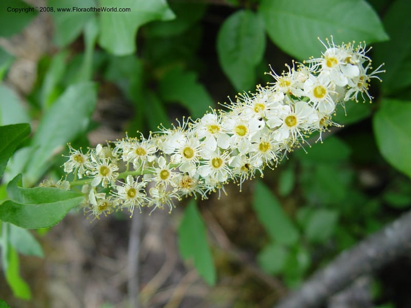
Prunus virginiana--ID. Idaho Co. Salmon R. Polly Bemis Ranch. 7 May 04. 058.jpg
Native to 55 botanical countries across Northern America; introduced into Baltic States, Central European Russia, East European Russia, France, Germany, Norway, South European Russia, Sweden, Ukraine, Uzbekistan (source: POWO). Flora of the World documents 3 occurrences across 1 country.
Location
United States, Idaho, Idaho
45.244, -115.588639
Location Remarks
1.9 km N of Warren Summit on FSR 340, at Mayflower Creek Bridge. Elev. 1904 m.
Collectors
No collectors specified
Location
United States, Idaho, Valley
44.158, -116.118361
Location Remarks
Highway 55 c. 10 km north of the bridge at Banks. Mixed conifer forest along the N. Fork Payette River.
Collectors
No collectors specified
Location
United States, Idaho, Boise
44.083139, -115.754194
Location Remarks
Ca. 4.2 km N of Banks-Lowman Rd (Hwy 17) on Scott Mtn Lookout Rd. (FSR 555BC). Elev. 1170 m.
Collectors
No collectors specified
Kingdom
Plantae
Phylum
Tracheophyta
Class
Magnoliopsida
Order
Rosales
Family
Rosaceae
Genus
Prunus
Specific Epithet
virginiana
Authorship
L.
What is EDGE?
Evolutionary distinctiveness
Lower
ED 1.6
Part of a well-represented branch of the plant tree of life, with many close relatives.
Threat status
IUCN Red List
EDGE score
0.1
Global rank
#278,914 of 335,497
Top 84%
Extinction probability
5%