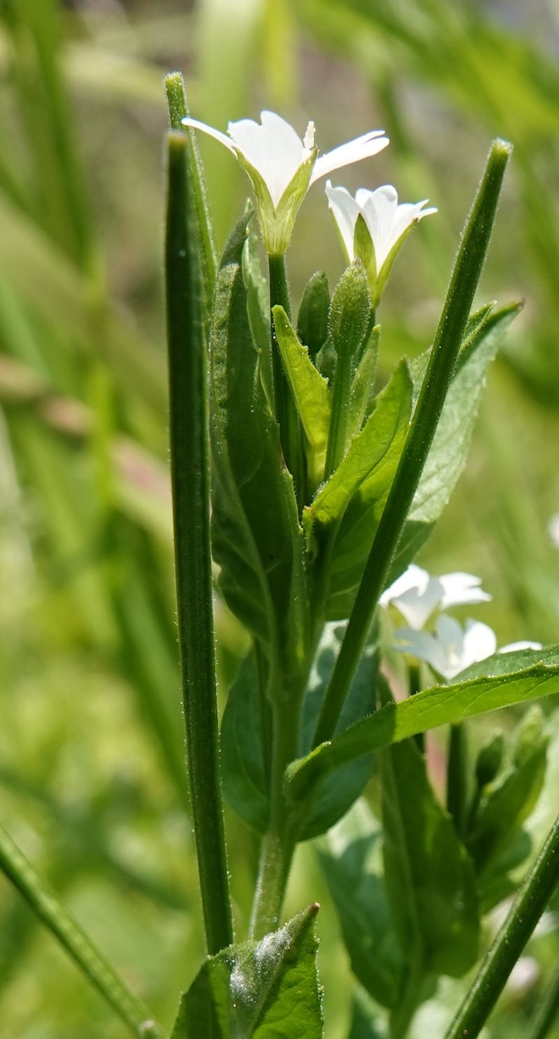
Epilobium glandulosum, C. Davidson 13880--ID. Fremont Co. Henry's Fork River. Box Canyon. 31 Jul 2018. DSC08304 (92).JPG
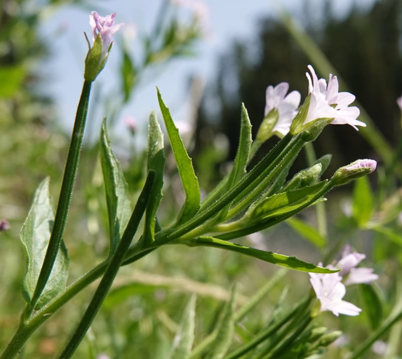
Epilobium glandulosum, C. Davidson 13880--ID. Fremont Co. Henry's Fork River. Box Canyon. 31 Jul 2018. DSC08304 (96).JPG
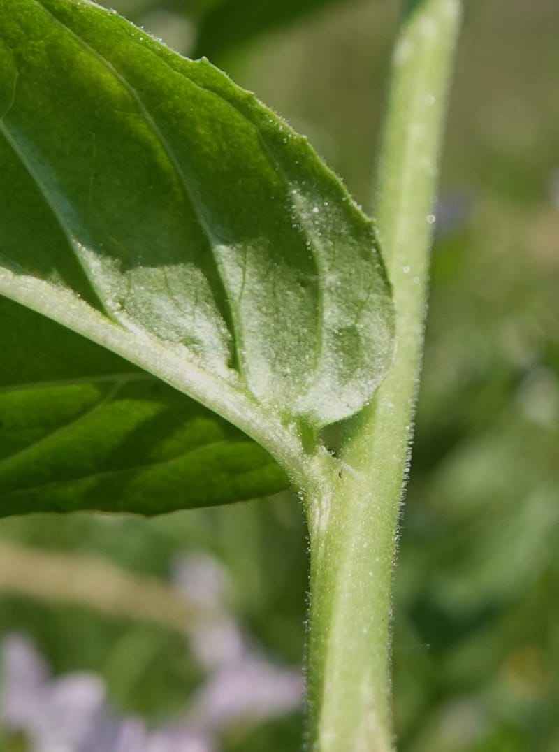
Epilobium glandulosum, C. Davidson 13880--ID. Fremont Co. Henry's Fork River. Box Canyon. 31 Jul 2018. DSC08304 (103).JPG
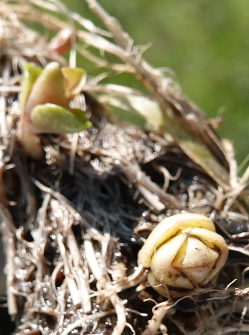
Epilobium glandulosum, C. Davidson 13880--ID. Fremont Co. Henry's Fork River. Box Canyon. 31 Jul 2018. DSC08304 (143).JPG
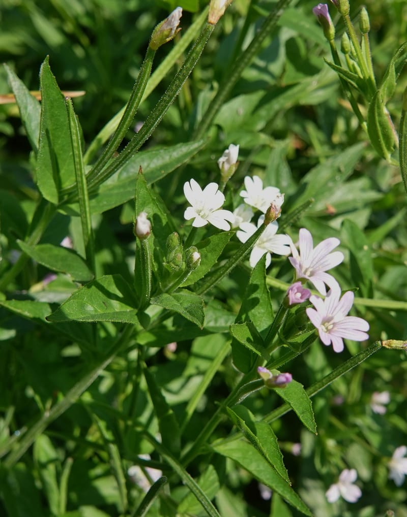
Epilobium glandulosum, C. Davidson 13880--ID. Fremont Co. Henry's Fork River. Box Canyon. 31 Jul 2018. DSC08304 (84).JPG
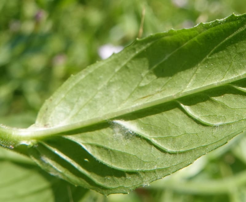
Epilobium glandulosum, C. Davidson 13880--ID. Fremont Co. Henry's Fork River. Box Canyon. 31 Jul 2018. DSC08304 (101).JPG
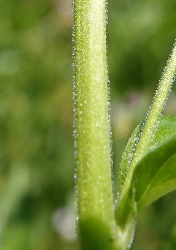
Epilobium glandulosum, C. Davidson 13880--ID. Fremont Co. Henry's Fork River. Box Canyon. 31 Jul 2018. DSC08304 (106).JPG
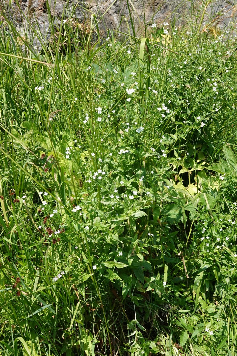
Epilobium glandulosum, C. Davidson 13880--ID. Fremont Co. Henry's Fork River. Box Canyon. 31 Jul 2018. DSC08304 (109).JPG
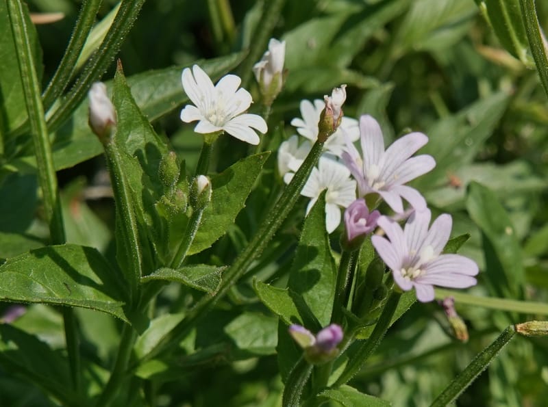
Epilobium glandulosum, C. Davidson 13880--ID. Fremont Co. Henry's Fork River. Box Canyon. 31 Jul 2018. DSC08304 (85).JPG
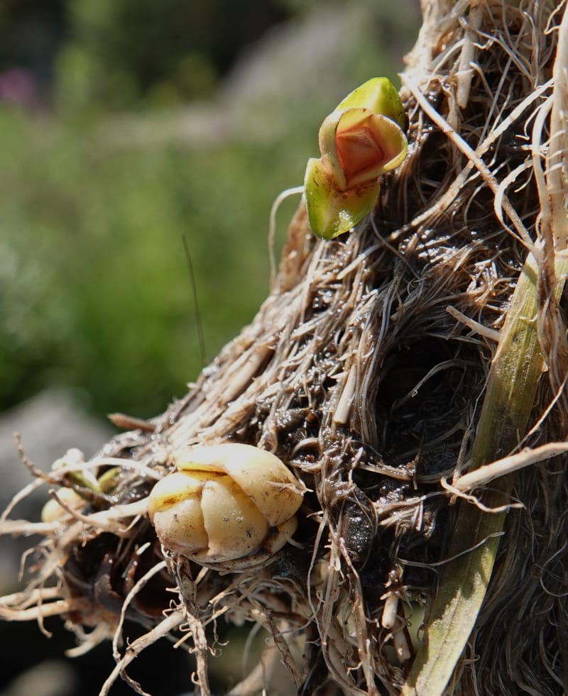
Epilobium glandulosum, C. Davidson 13880--ID. Fremont Co. Henry's Fork River. Box Canyon. 31 Jul 2018. DSC08304 (144).JPG
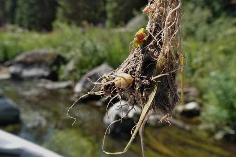
Epilobium glandulosum, C. Davidson 13880--ID. Fremont Co. Henry's Fork River. Box Canyon. 31 Jul 2018. DSC08304 (145).JPG
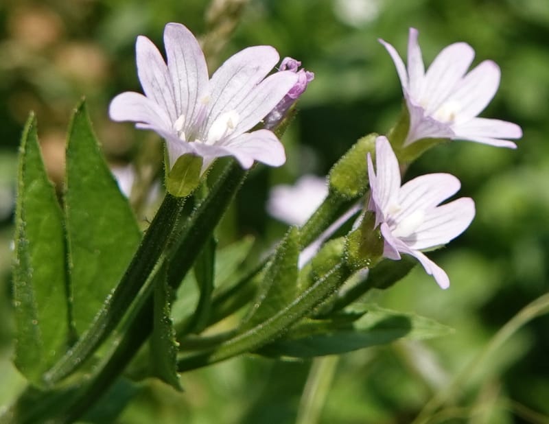
Epilobium glandulosum, C. Davidson 13880--ID. Fremont Co. Henry's Fork River. Box Canyon. 31 Jul 2018. DSC08304 (93).JPG
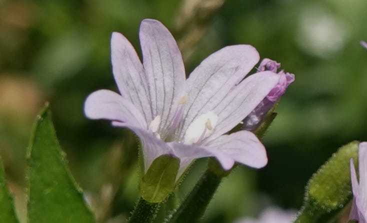
Epilobium glandulosum, C. Davidson 13880--ID. Fremont Co. Henry's Fork River. Box Canyon. 31 Jul 2018. DSC08304 (94).JPG
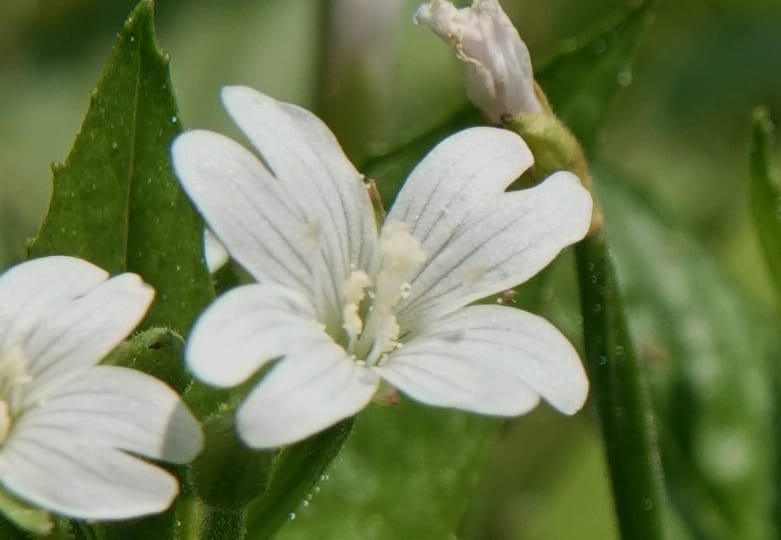
Epilobium glandulosum, C. Davidson 13880--ID. Fremont Co. Henry's Fork River. Box Canyon. 31 Jul 2018. DSC08304 (89).JPG
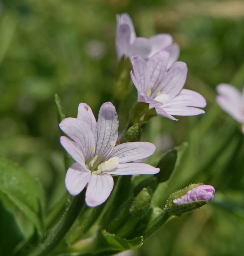
Epilobium glandulosum, C. Davidson 13880--ID. Fremont Co. Henry's Fork River. Box Canyon. 31 Jul 2018. DSC08304 (100).JPG
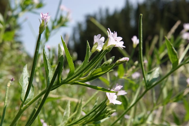
Epilobium glandulosum, C. Davidson 13880--ID. Fremont Co. Henry's Fork River. Box Canyon. 31 Jul 2018. DSC08304 (97).JPG
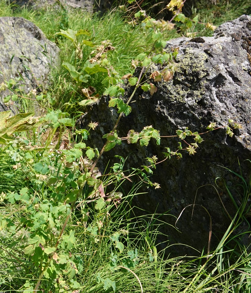
Epilobium glandulosum, C. Davidson 13880--ID. Fremont Co. Henry's Fork River. Box Canyon. 31 Jul 2018. DSC08304 (108).JPG
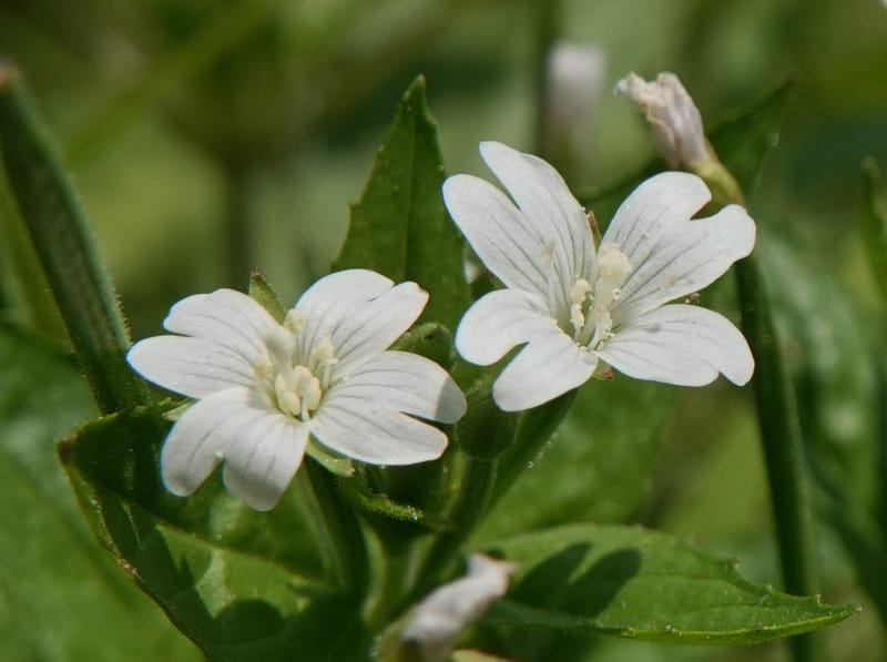
Epilobium glandulosum, C. Davidson 13880--ID. Fremont Co. Henry's Fork River. Box Canyon. 31 Jul 2018. DSC08304 (90).JPG
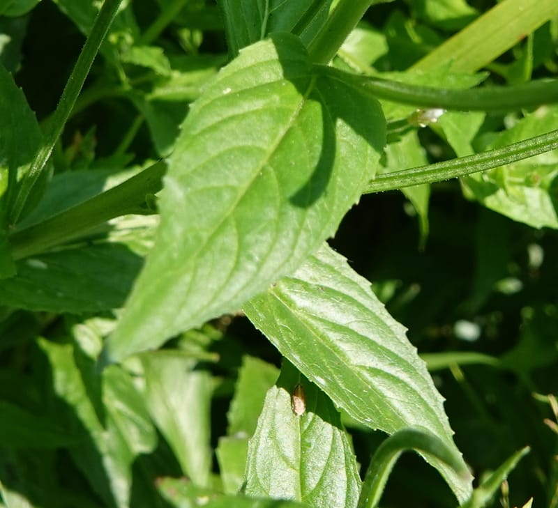
Epilobium glandulosum, C. Davidson 13880--ID. Fremont Co. Henry's Fork River. Box Canyon. 31 Jul 2018. DSC08304 (95).JPG
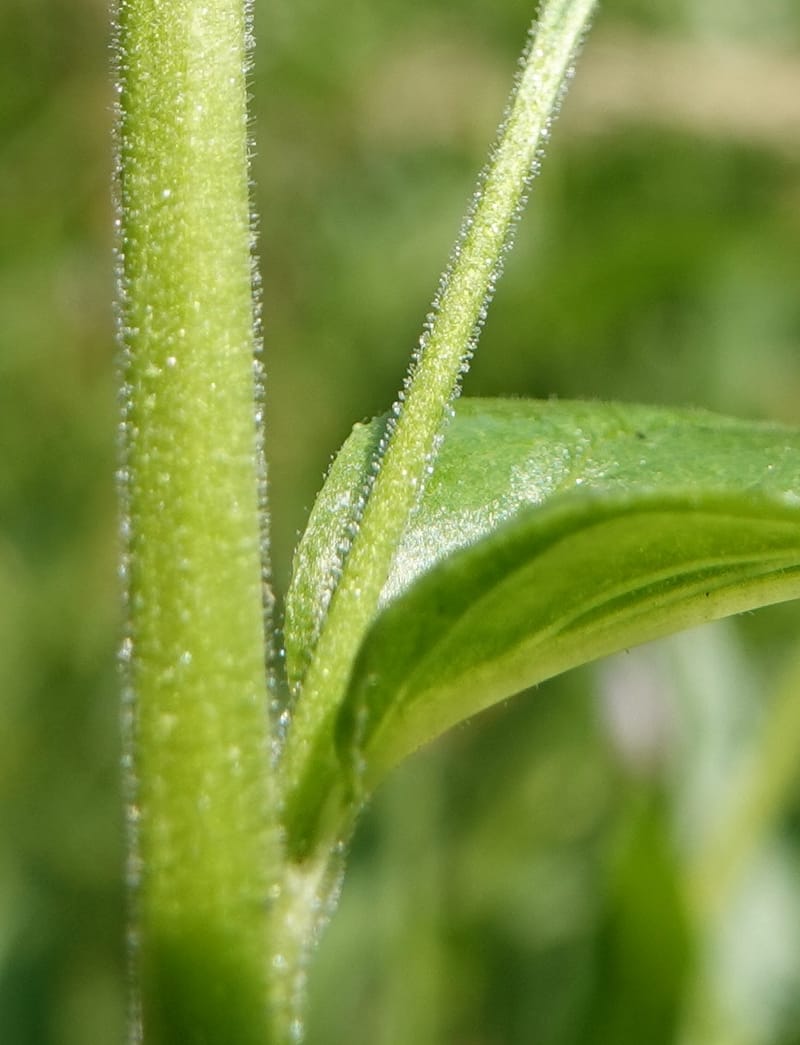
Epilobium glandulosum, C. Davidson 13880--ID. Fremont Co. Henry's Fork River. Box Canyon. 31 Jul 2018. DSC08304 (105).JPG
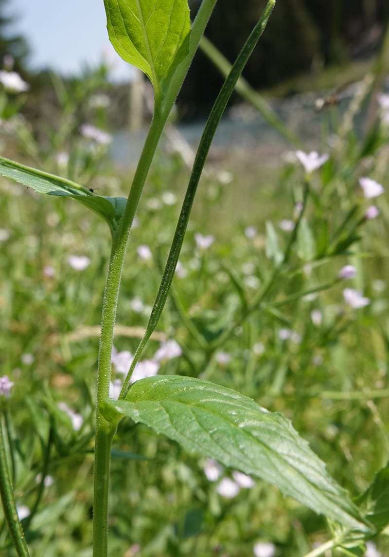
Epilobium glandulosum, C. Davidson 13880--ID. Fremont Co. Henry's Fork River. Box Canyon. 31 Jul 2018. DSC08304 (104).JPG
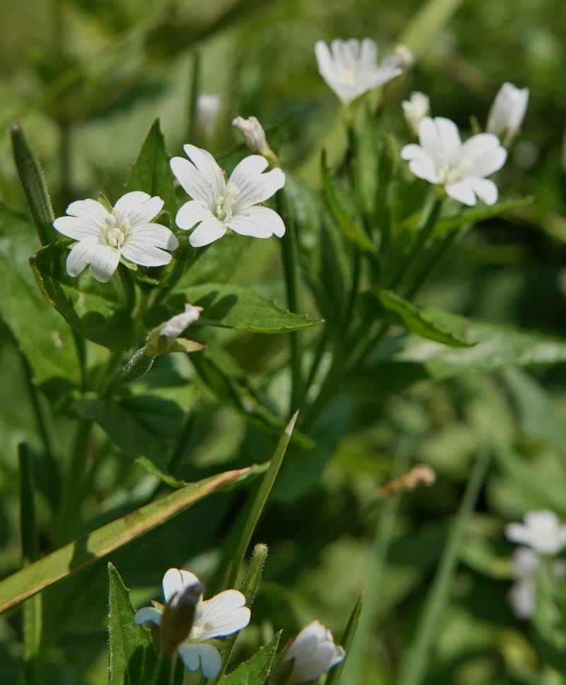
Epilobium glandulosum, C. Davidson 13880--ID. Fremont Co. Henry's Fork River. Box Canyon. 31 Jul 2018. DSC08304 (88).JPG
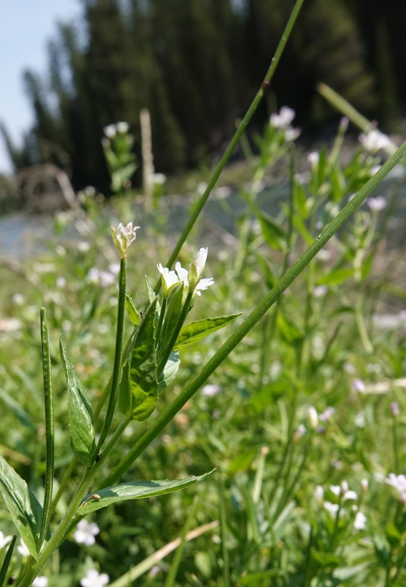
Epilobium glandulosum, C. Davidson 13880--ID. Fremont Co. Henry's Fork River. Box Canyon. 31 Jul 2018. DSC08304 (87).JPG
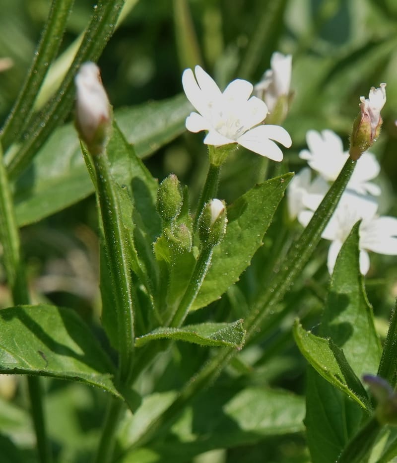
Epilobium glandulosum, C. Davidson 13880--ID. Fremont Co. Henry's Fork River. Box Canyon. 31 Jul 2018. DSC08304 (86).JPG
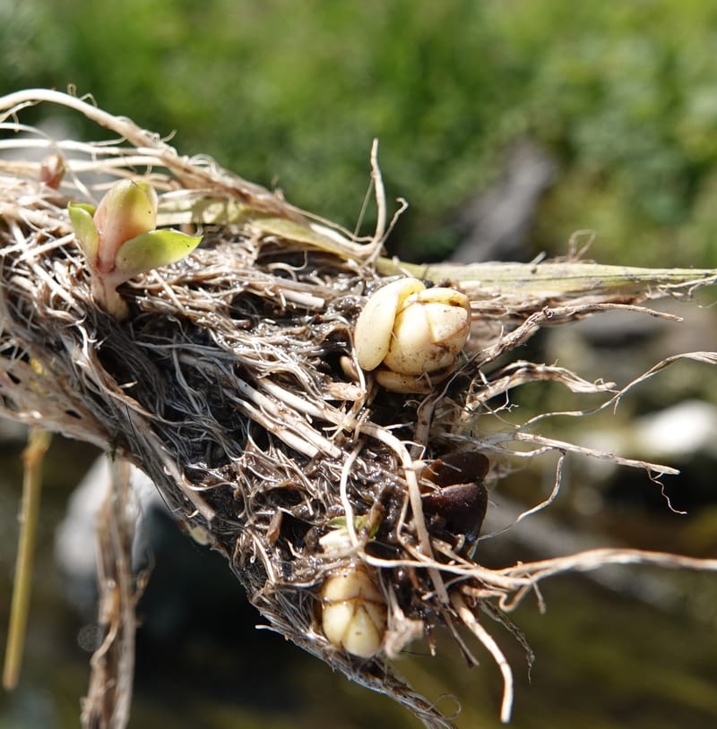
Epilobium glandulosum, C. Davidson 13880--ID. Fremont Co. Henry's Fork River. Box Canyon. 31 Jul 2018. DSC08304 (146).JPG
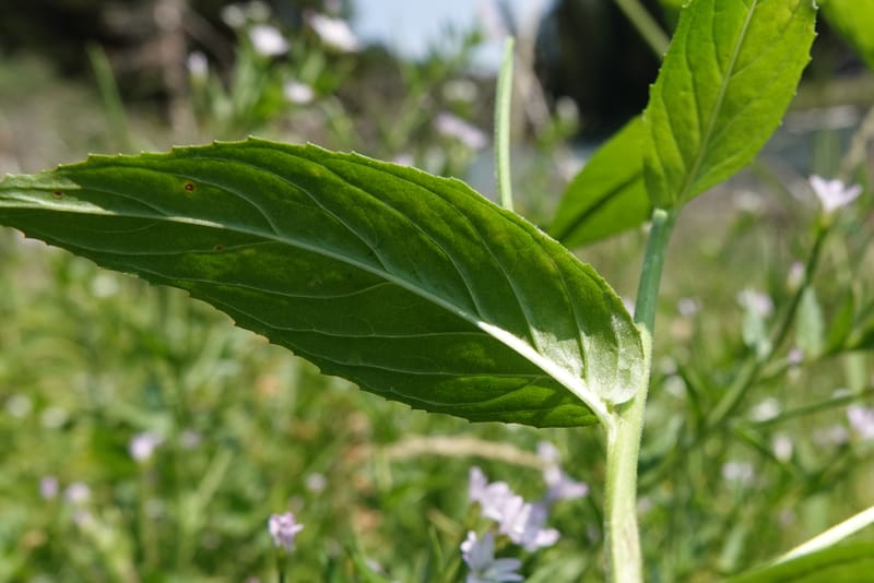
Epilobium glandulosum, C. Davidson 13880--ID. Fremont Co. Henry's Fork River. Box Canyon. 31 Jul 2018. DSC08304 (102).JPG
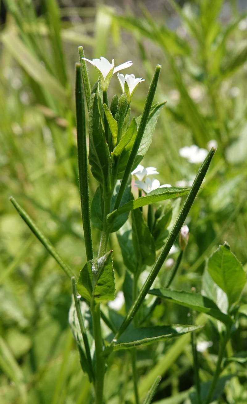
Epilobium glandulosum, C. Davidson 13880--ID. Fremont Co. Henry's Fork River. Box Canyon. 31 Jul 2018. DSC08304 (91).JPG
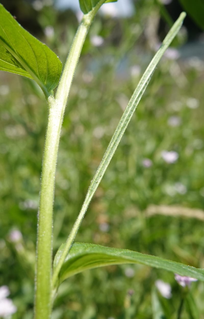
Epilobium glandulosum, C. Davidson 13880--ID. Fremont Co. Henry's Fork River. Box Canyon. 31 Jul 2018. DSC08304 (107).JPG
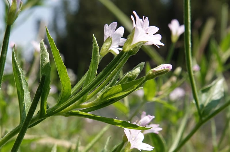
Epilobium glandulosum, C. Davidson 13880--ID. Fremont Co. Henry's Fork River. Box Canyon. 31 Jul 2018. DSC08304 (98).JPG
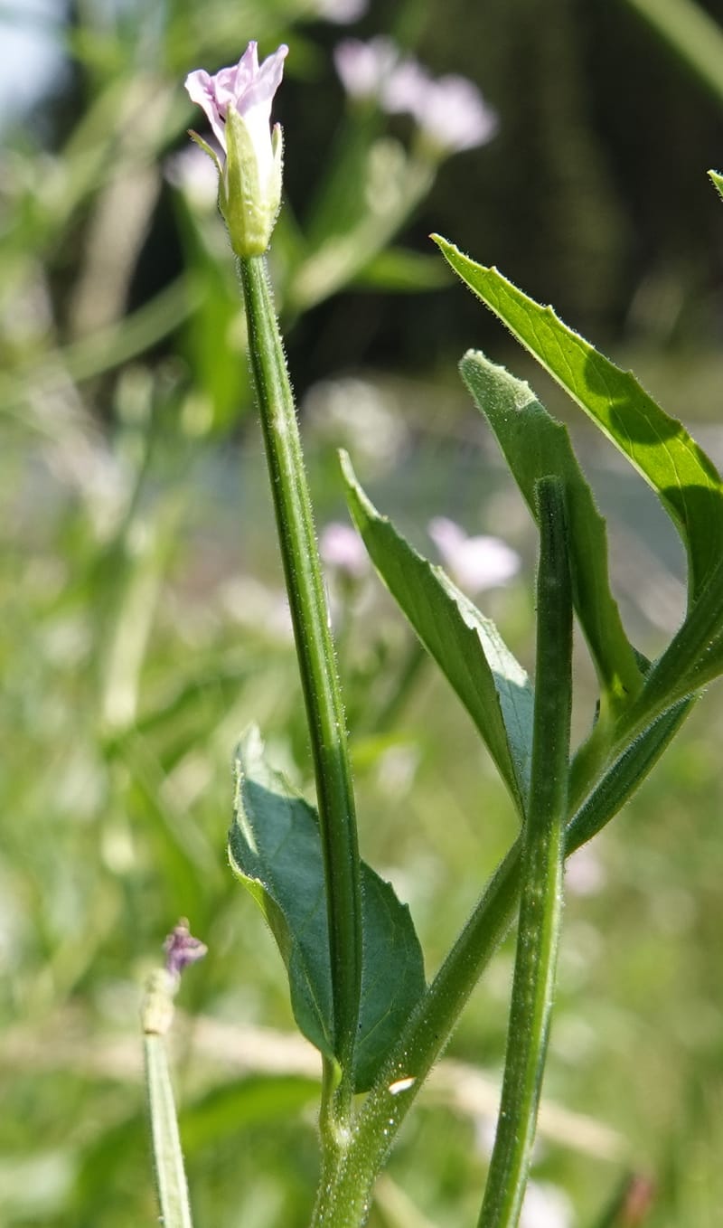
Epilobium glandulosum, C. Davidson 13880--ID. Fremont Co. Henry's Fork River. Box Canyon. 31 Jul 2018. DSC08304 (99).JPG
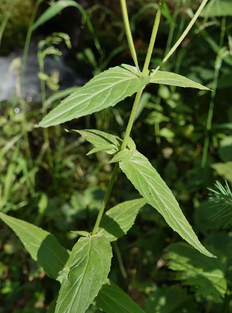
Epilobium glandulosum, C. Davidson 14099--ID. Idaho Co. Seven Devils. 17 Aug 2020. DSC06619 (12).JPG
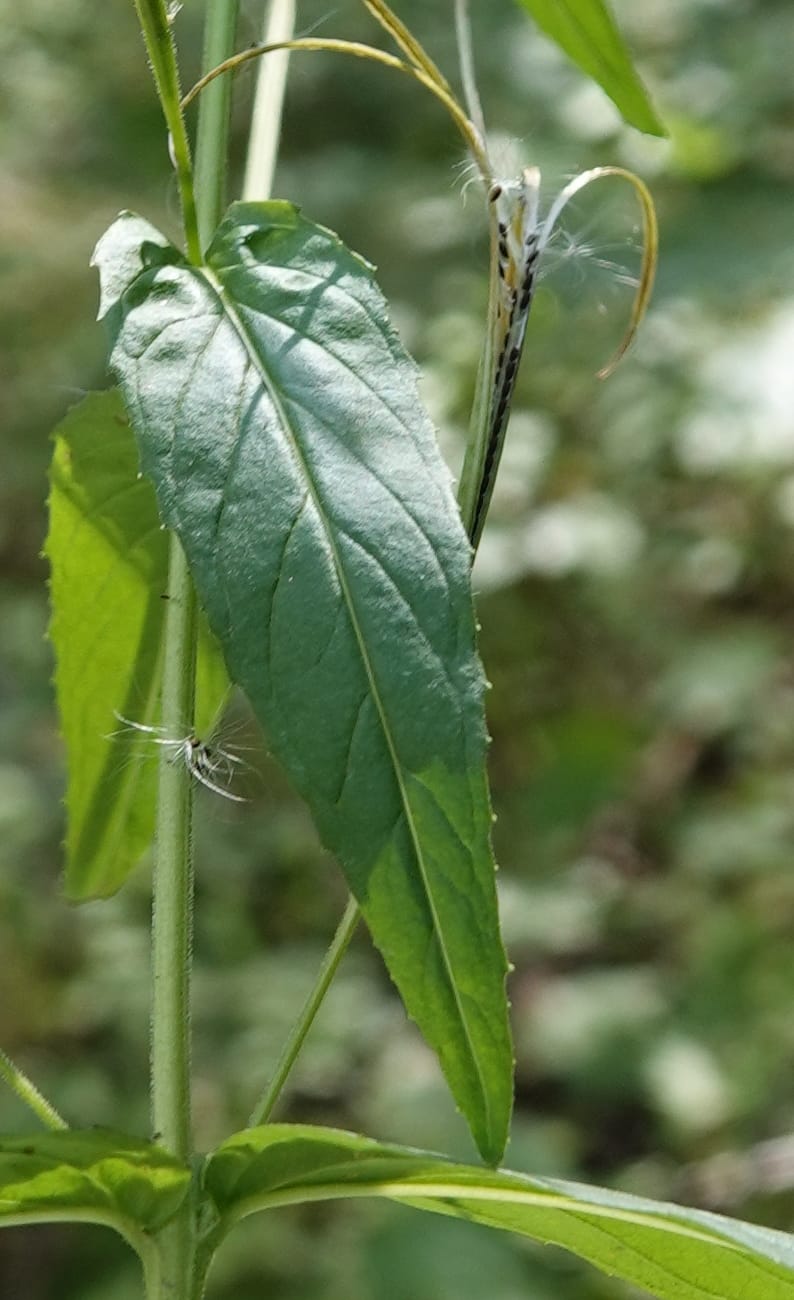
Epilobium glandulosum, C. Davidson 14099--ID. Idaho Co. Seven Devils. 17 Aug 2020. DSC06619 (23).JPG
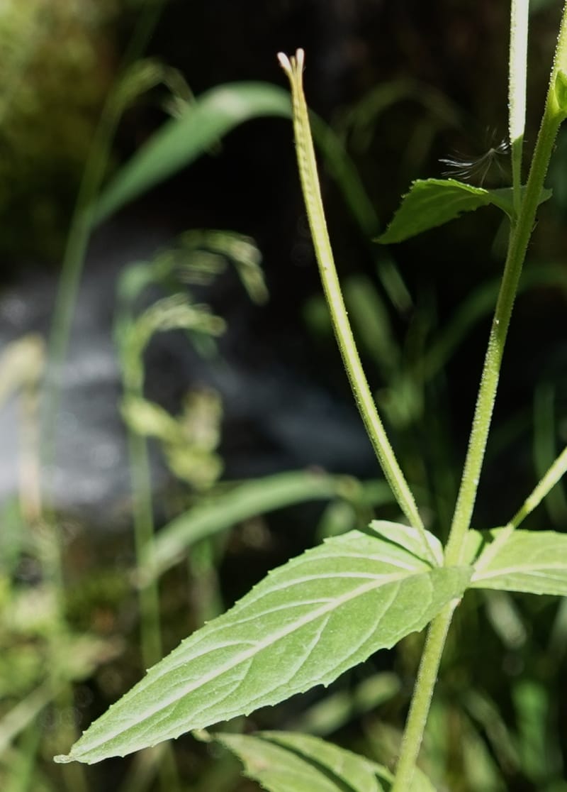
Epilobium glandulosum, C. Davidson 14099--ID. Idaho Co. Seven Devils. 17 Aug 2020. DSC06619 (11).JPG
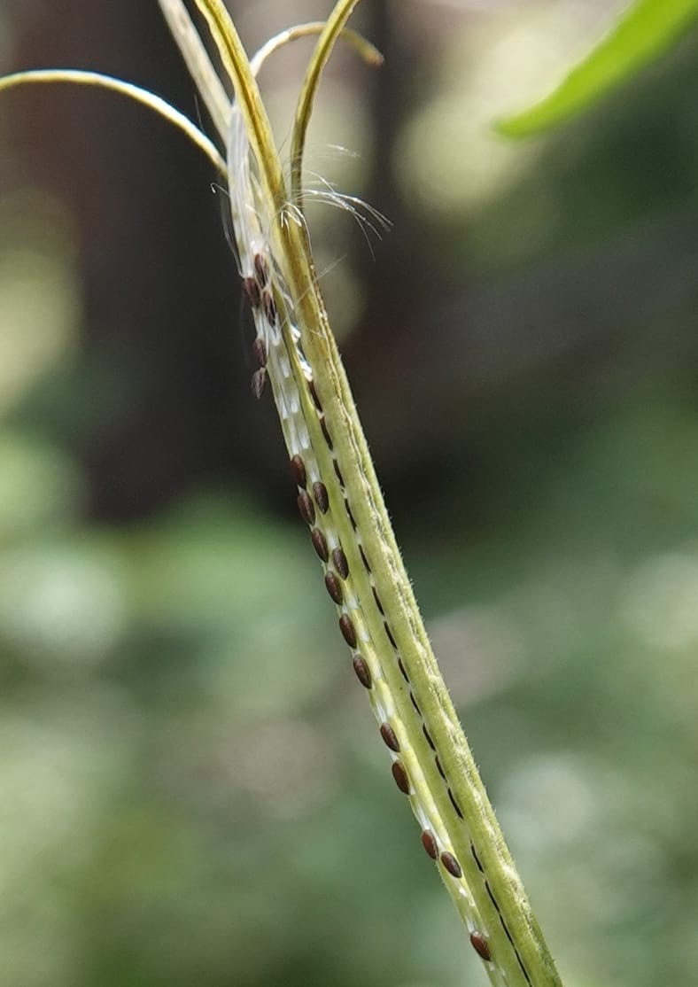
Epilobium glandulosum, C. Davidson 14099--ID. Idaho Co. Seven Devils. 17 Aug 2020. DSC06619 (20).JPG
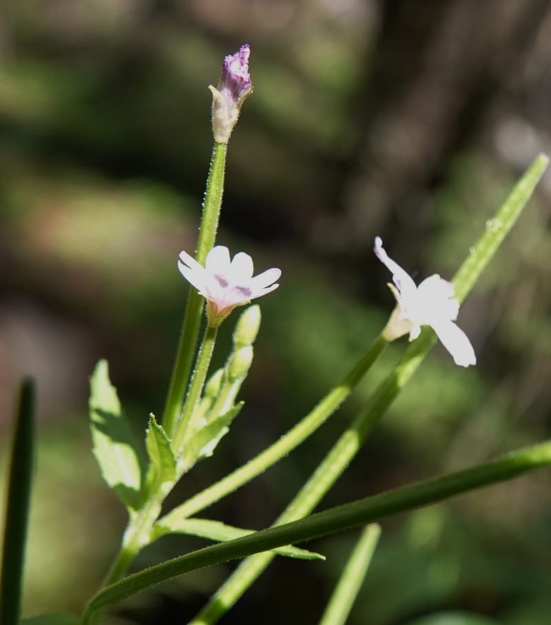
Epilobium glandulosum, C. Davidson 14099--ID. Idaho Co. Seven Devils. 17 Aug 2020. DSC06619 (8).JPG
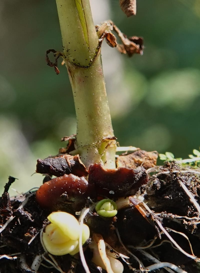
Epilobium glandulosum, C. Davidson 14099--ID. Idaho Co. Seven Devils. 17 Aug 2020. DSC06619 (14).JPG
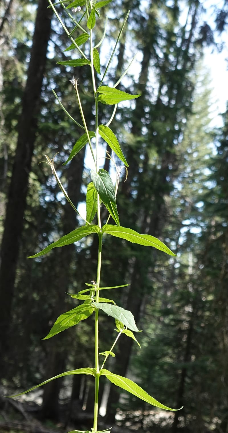
Epilobium glandulosum, C. Davidson 14099--ID. Idaho Co. Seven Devils. 17 Aug 2020. DSC06619 (18).JPG
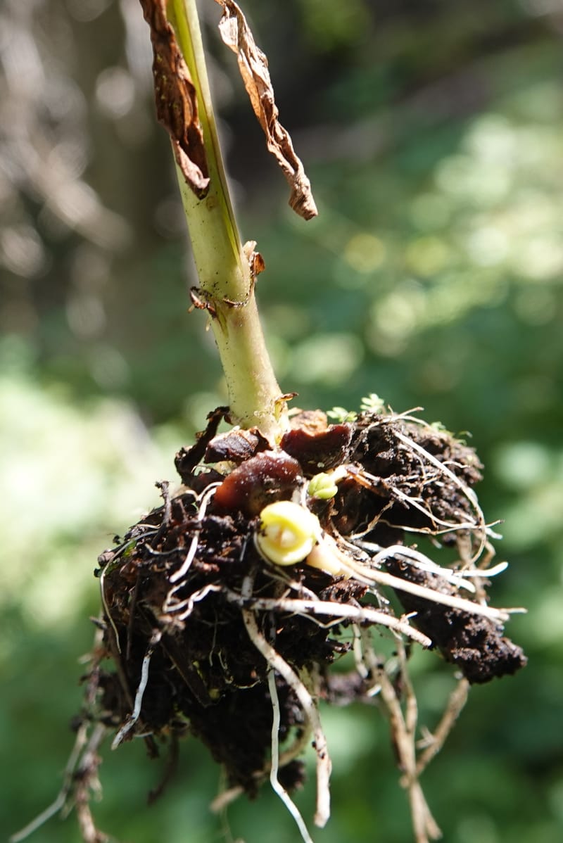
Epilobium glandulosum, C. Davidson 14099--ID. Idaho Co. Seven Devils. 17 Aug 2020. DSC06619 (13).JPG
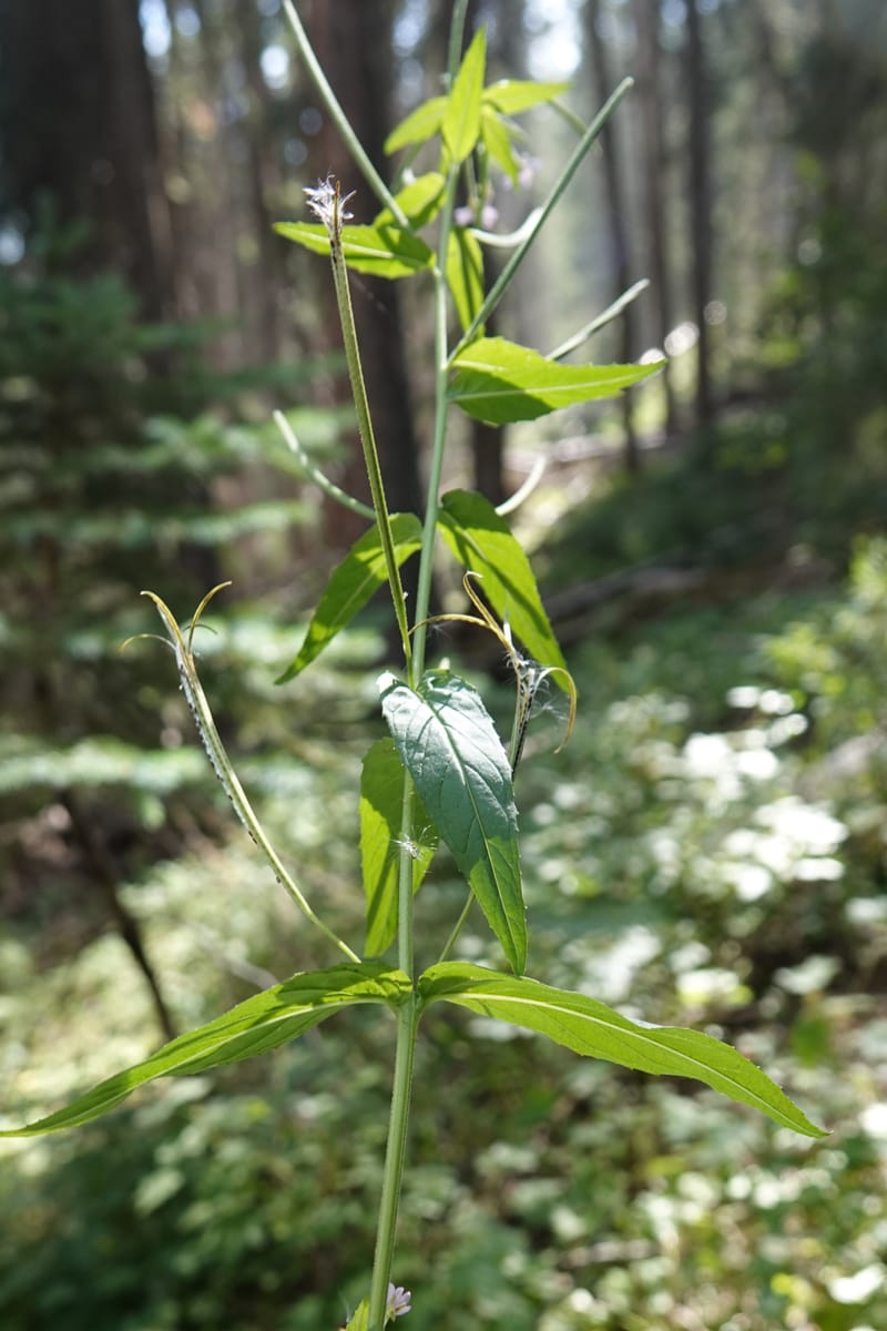
Epilobium glandulosum, C. Davidson 14099--ID. Idaho Co. Seven Devils. 17 Aug 2020. DSC06619 (22).JPG
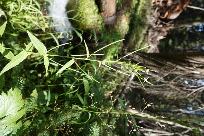
Epilobium glandulosum, C. Davidson 14099--ID. Idaho Co. Seven Devils. 17 Aug 2020. DSC06619 (1).JPG
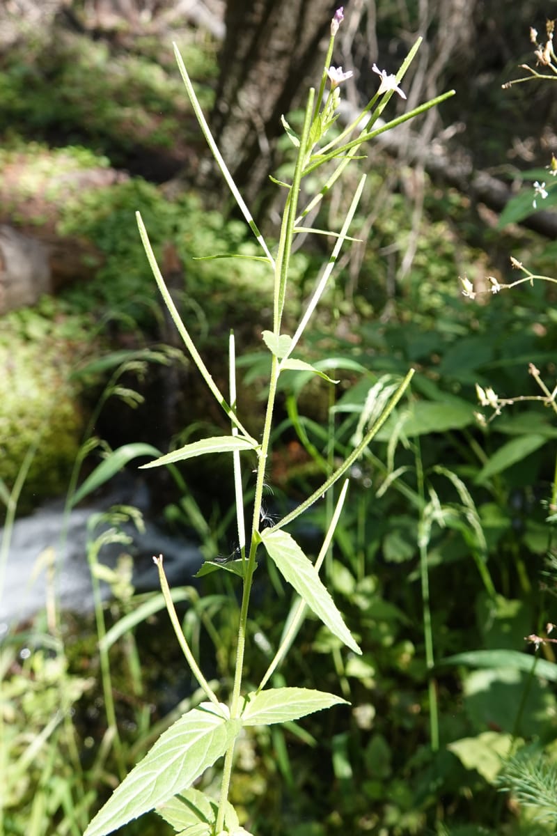
Epilobium glandulosum, C. Davidson 14099--ID. Idaho Co. Seven Devils. 17 Aug 2020. DSC06619 (27).JPG
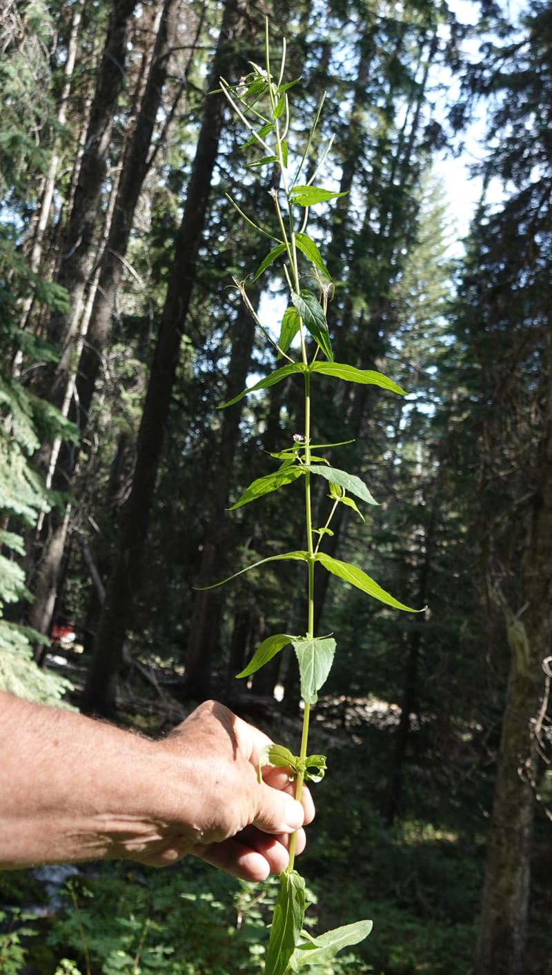
Epilobium glandulosum, C. Davidson 14099--ID. Idaho Co. Seven Devils. 17 Aug 2020. DSC06619 (17).JPG
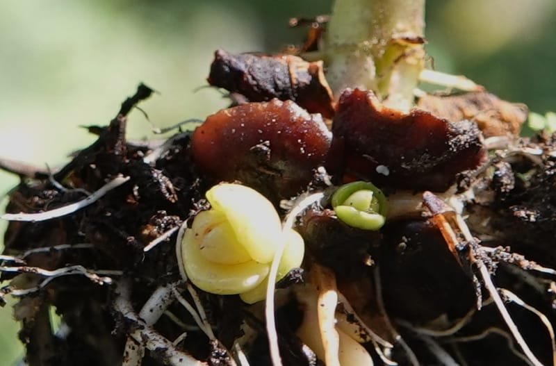
Epilobium glandulosum, C. Davidson 14099--ID. Idaho Co. Seven Devils. 17 Aug 2020. DSC06619 (15).JPG
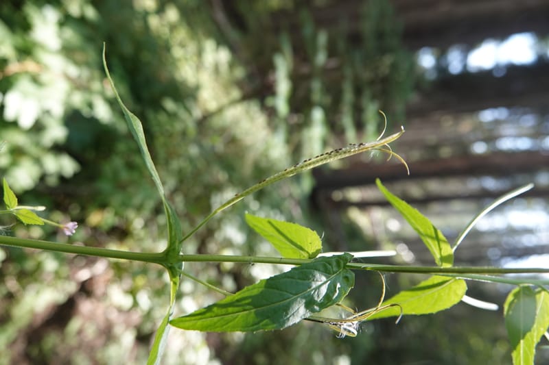
Epilobium glandulosum, C. Davidson 14099--ID. Idaho Co. Seven Devils. 17 Aug 2020. DSC06619 (21).JPG
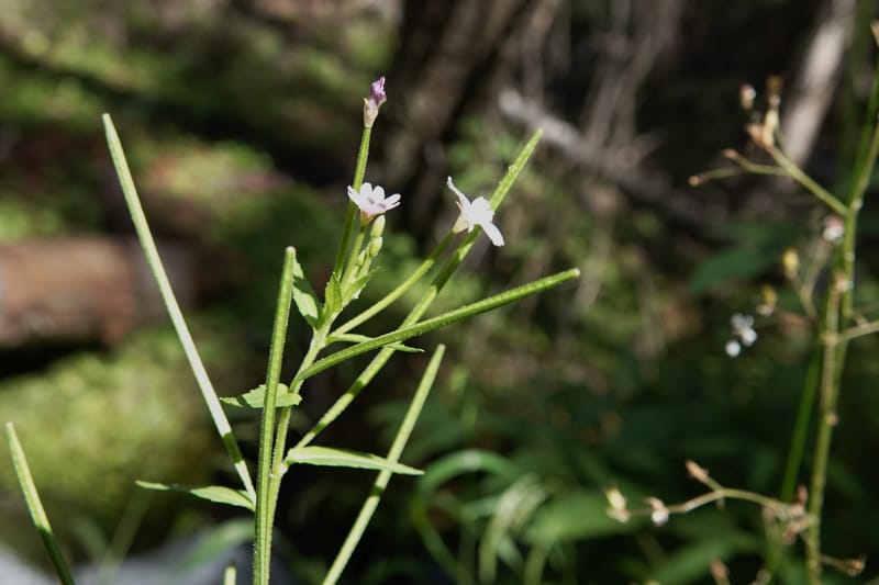
Epilobium glandulosum, C. Davidson 14099--ID. Idaho Co. Seven Devils. 17 Aug 2020. DSC06619 (5).JPG
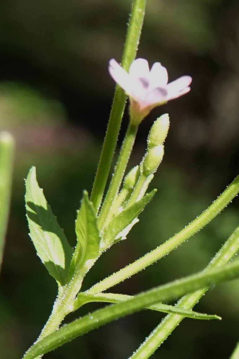
Epilobium glandulosum, C. Davidson 14099--ID. Idaho Co. Seven Devils. 17 Aug 2020. DSC06619 (9).JPG
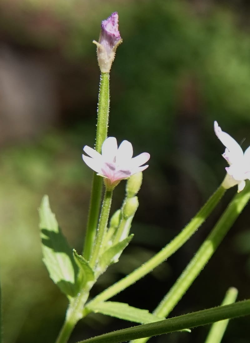
Epilobium glandulosum, C. Davidson 14099--ID. Idaho Co. Seven Devils. 17 Aug 2020. DSC06619 (4).JPG
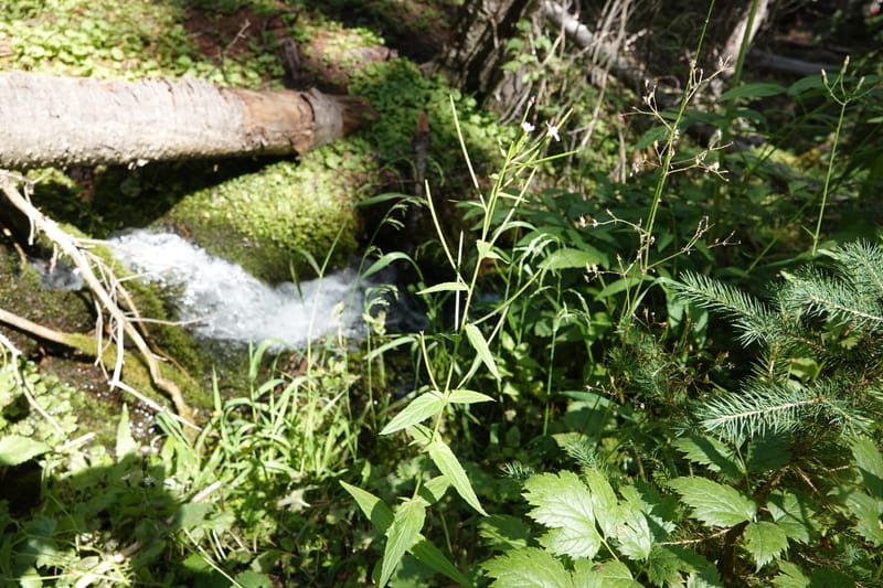
Epilobium glandulosum, C. Davidson 14099--ID. Idaho Co. Seven Devils. 17 Aug 2020. DSC06619 (10).JPG
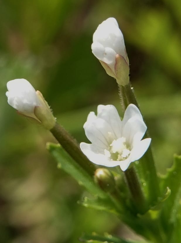
Epilobium ciliatum subsp. watsonii, C. Davidson 13784--Oregon. Wallowa Co. Trail Cr. Rd. Stop 2. 5 Jun 2018. DSC05056 (71).JPG
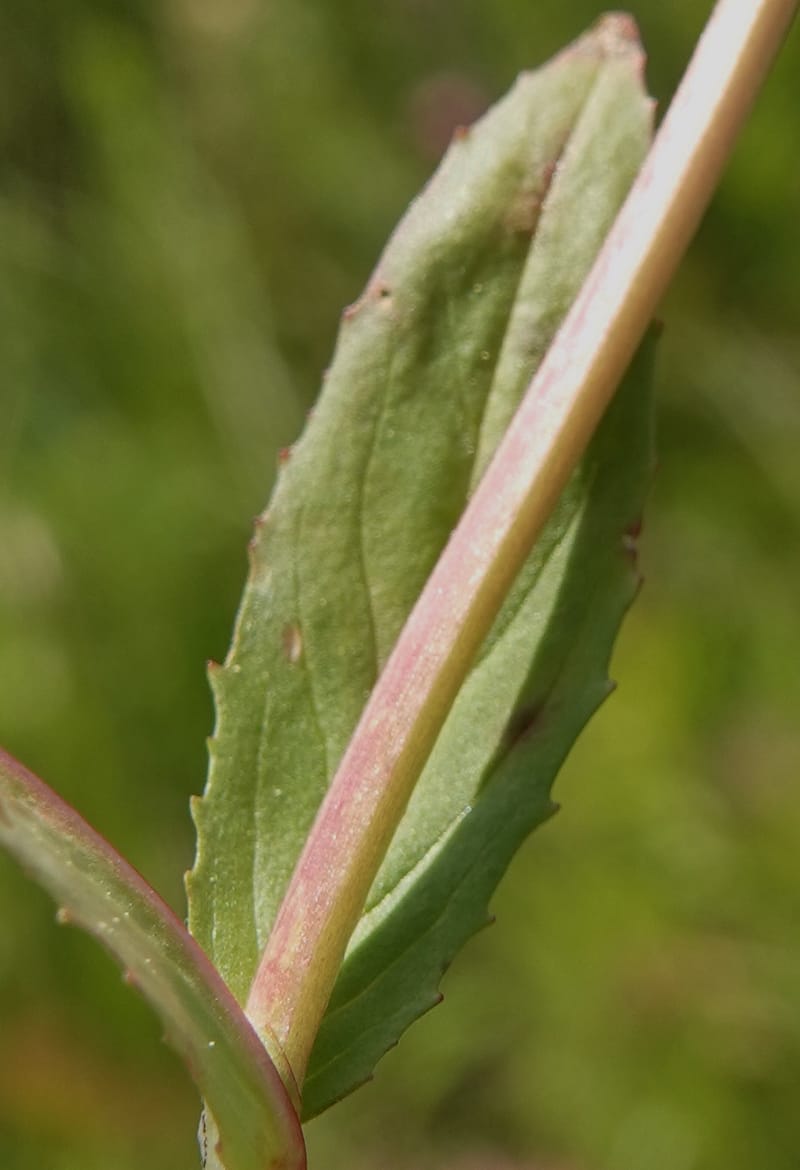
Epilobium ciliatum subsp. watsonii, C. Davidson 13784--Oregon. Wallowa Co. Trail Cr. Rd. Stop 2. 5 Jun 2018. DSC05056 (85).JPG
Global range is not yet available in Plants of the World Online. Flora of the World documents 7 occurrences across 1 country.
Epilobium ciliatum
subsp. ciliatum
subsp. glandulosum
subsp. watsonii
Identified as
Epilobium ciliatum subsp. glandulosum
Location
United States, Idaho, Idaho (McCall)
45.244, -115.588639
Location Remarks
1.9 km N of Warren Summit on FSR 340, at Mayflower Creek Bridge. Elev. 1904 m.
Collectors
Christopher Davidson, Roy E. Gereau, Charlotte M. Taylor
Notes
Moist, shady stream bank. Fir-spruce forest with a carpet of Orthilia secunda. To ca. 1 m tall. Flowers pink.
Identified as
Epilobium ciliatum subsp. glandulosum
Location
United States, Idaho, Fremont (Island Park)
44.289333, -111.459389
Location Remarks
Intersection of Hwy 20 and Pinehaven Rd. ca. 16 km S of bridge in Island Park and 26 km N of Main St. in Ashton. Elev. 1868 m.
Collectors
Christopher Davidson, Sharon R. Christoph, Dave Weskamp
Notes
Mixed conifers with lodgepole, Abies, douglas fir. Grassy-weedy, disturbed river bank. Stems 1/2 to 3/4 m.
Location
United States, Idaho, Valley (Cascade)
44.158, -116.118361
Location Remarks
Highway 55 c. 10 km north of the bridge at Banks. Mixed conifer forest along the N. Fork Payette River.
Collectors
No collectors specified
Identified as
Epilobium ciliatum subsp. watsonii
Location
United States, Oregon, Wallowa (Imnaha)
45.579306, -116.960556
Location Remarks
The Nature Conservancy's Zumwalt Prairie Preserve. 0.6 km NE past Summer Camp barn on Trail Creek Rd. Elev. 1371 m.
Collectors
Christopher Davidson, Sharon R. Christoph
Notes
Gently sloping meadow. By stream in mud.
Identified as
Epilobium ciliatum subsp. watsonii
Location
United States, Idaho, Adams (New Meadows)
45.189778, -116.304556
Location Remarks
Hwy 55 along the Little Salmon River. Ca. 19 km S of Pollock. Coarse basalt gravel on roadside turnout above the river. 976 m elev.
Collectors
Identified as
Epilobium ciliatum subsp. glandulosum
Location
United States, Oregon, Harney (Princeton)
42.666944, -118.711194
Location Remarks
South Steens Mountain Loop, c. 6 km east of bridge at Donner and Blitzen River. 1806 m elev.
Collectors
Christopher Davidson, Charlotte M. Taylor, Roy E. Gereau, Sharon R. Christoph
Notes
Streamlet and accompanying bog/meadow on the west side of the road. Mossy banks along the streamlet.
Identified as
Epilobium ciliatum subsp. ciliatum
Location
United States, Idaho, Idaho (McCall)
45.244, -115.588639
Location Remarks
1.9 km N of Warren Summit on FSR 340, at Mayflower Creek Bridge. Elev. 1904 m.
Collectors
Christopher Davidson, Charlotte M. Taylor, Roy E. Gereau, Sharon R. Christoph
Kingdom
Plantae
Phylum
Tracheophyta
Class
Magnoliopsida
Order
Myrtales
Family
Onagraceae
Genus
Epilobium
Specific Epithet
ciliatum
Authorship
Raf.
What is EDGE?
Evolutionary distinctiveness
Lower
ED 2.2
Part of a well-represented branch of the plant tree of life, with many close relatives.
Threat status
IUCN Red List
EDGE score
0.1
Global rank
#261,766 of 335,497
Top 79%
Extinction probability
6%
