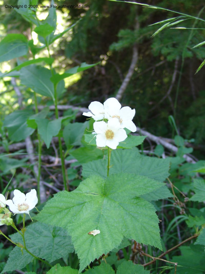
Rubus parviflorus--ID. Valley Co. Sylvan Beach, Payette Lake. 24 Jul 05. 209.jpg
Native to Alaska, Alberta, Arizona, British Columbia, California, Colorado, Idaho, Illinois, Iowa, Mexico Northeast, Mexico Northwest, Michigan, Minnesota, Montana, Nevada, New Mexico, Ontario, Oregon, South Dakota, Utah, Washington, Wisconsin, Wyoming; introduced into Baltic States, Czechia-Slovakia, Denmark, Germany, Great Britain, Ireland, Northwest European Russia, Norway, Sweden, Switzerland (source: POWO). Flora of the World documents 5 occurrences across 1 country.
Location
United States, Idaho, Valley
44.158, -116.118361
Location Remarks
Highway 55 c. 10 km north of the bridge at Banks. Mixed conifer forest along the N. Fork Payette River.
Collectors
No collectors specified
Location
United States, Idaho, Idaho
45.244, -115.588639
Location Remarks
1.9 km N of Warren Summit on FSR 340, at Mayflower Creek Bridge. Elev. 1904 m.
Collectors
No collectors specified
Location
United States, Idaho, Valley
44.158, -116.118361
Location Remarks
Highway 55 c. 10 km north of the bridge at Banks. Mixed conifer forest along the N. Fork Payette River.
Collectors
No collectors specified
Location
United States, Washington, Grays Harbor
47.466111, -123.846111
Location Remarks
Quinault Rain Forest, trails in the coniferous forest southeast of Lake Quinault Lodge.
Collectors
No collectors specified
Location
United States, Idaho, Valley
44.158, -116.118361
Location Remarks
Highway 55 c. 10 km north of the bridge at Banks. Mixed conifer forest along the N. Fork Payette River.
Collectors